What is recorded here
In pasture, with a fall of ground to N towards a broad expanse of bog, large sections of which are now planted with forestry.
Broadly oval area (25.6m NW−SE; 31.6m NE−SW) enclosed by a low earthen bank (Wth 2m at N, 1.65m at S; int. H 0.3-0.4m; ext. H 1.05m at N, 0.5m at S). The bank is reinforced or faced in parts with stones, in particular in the vicinity of the three later field fences which abut it at NE, E and SW. There are several narrow eroded breaks on the N arc (Wth 0.6-1m), a break (Wth 1m) at E and one at S (Wth 1m). At very stony section (Wth 2-2.5m) of bank is evident at SW, possibly an infilled gap. The interior is not noticeably raised relative to exterior ground level. It is flat and grassy, with hawthorn and brambles on the perimeter.
Compiled by: Jane O'Shaughnessy
Date of upload: 17 June 2020
The monument record does not grant public access. Check the route and ask the landowner before entering private land.
- What survives
- Recorded monument
Places near here
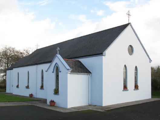 Saint Joseph's Catholic Churchchurch/chapel · 1035 yd
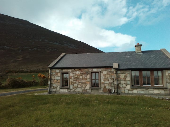 Doomore FortArchaeological place · 1421 yd
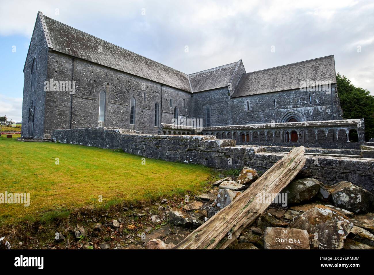 IndicatedFairy fort / earthen ringfort · 1.2 mi
 Musicans of DoocastleMemorial · 1.2 mi
 Old Cave Burial GroundArchaeological place · 1.8 mi
 CastleCastle, unclassified · 2.9 mi
 Castle (in Ruins)Castle, tower house · 3.6 mi
 Tymon's HillMountain / peak · 3.9 mi
 Muckelty HillMountain / peak · 5.0 mi
 Caves of KeshCave · 9.3 mi
 Crow IslandIslet · 9.6 mi
 Castle PointHeadland · 10 mi