What is recorded here
Indicated is a vanished Mayo ringfort, reduced to a curving scarp and a memory of shape on a low ridge. It once stood thirty metres across, watching the northern and southern horizons before field boundaries cut its edges and ploughs erased its floor. The land keeps the outline even when the earth forgets the name, inviting you to imagine what lived inside that lost circle.
In pasture, located on an E-W rise or low ridge, providing good views to N and S.
This enclosure, possibly a rath, is shown on the 1919 OS 6-inch map as a roughly subcircular hachured area (diam. c. 30-35m), truncated at its W and N edges by later field boundaries. It has been levelled; there is no visible trace at ground level bar the hint of a curving scarp at S, merging with a natural fall of ground. There is a rath (MA062-055----) 130m to ENE.
Compiled by: Jane O’Shaughnessy
Date of upload: 30 November 2020
This remains an important historical record, but the official description says the monument is no longer visible or has been destroyed. The monument record does not grant public access. Check the route and ask the landowner before entering private land.
- What survives
- No visible remains or recorded as destroyed
Places near here
 bridgebridge · 1354 yd
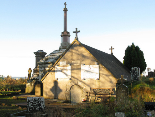 mausoleummausoleum · 1461 yd
 IndicatedFairy fort / earthen ringfort · 1.1 mi
 Procession Of The SoulsMemorial · 1.1 mi
 Brabazon WoodsForest · 1.3 mi
 ToberbrideHoly well · 1.4 mi
 Youth Memorial GardenMemorial · 1.5 mi
 HawthornHawthorn · 2.2 mi
 Castle (in Ruins)Castle, unclassified · 3.1 mi
 Hennigan's Heritage CentreHeritage attraction · 3.2 mi
 Thorn CaveCave · 4.5 mi
 Kiltimagh MuseumMuseum · 7.8 mi