What is recorded here
Indicated was a thirty-metre circular embankment on a Mayo rise, overlooking flat pasture and bog until quarrying destroyed it. Maps drawn in 1837 and 1919 captured its shape before the pit widened, while later trenching found no surviving fosse or artifacts. The land keeps no sharp edge of that circle now, only the memory of a boundary drawn against the open sky.
In pasture, located on a rise, overlooking a flat expanse of pasture and bog to S−SW.
This possible rath is shown on the 1837 and 1919 OS 6-inch maps as a circular embanked enclosure (diam. c. 30m); on the 1919 edition a quarry pit truncates the NW quadrant. The quarry was extended later in the 20th century resulting in the destruction of the enclosure. In 1992 in advance of the construction of the N5 Swinford by-pass, four test trenches were excavated to determine if any remains of an enclosing fosse survived (Walsh, 1993; 1992:142 Cloonlara Mayo https://excavations.ie/report/1992/Mayo/0001338/). No features or finds of archaeological importance were uncovered.
There is an enclosure (MA062-054----) and a rath (MA062-055----) on an E-W ridge, 240m to NW and 220m to N, respectively.
Compiled by: Jane O’Shaughnessy
Date of upload: 30 November 2020
The monument record does not grant public access. Check the route and ask the landowner before entering private land.
- What survives
- Recorded monument
Places near here
 bridgebridge · 1576 yd
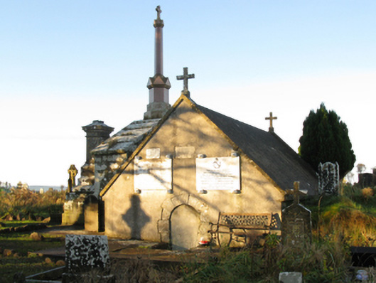 mausoleummausoleum · 1614 yd
 IndicatedFairy fort / earthen ringfort · 1711 yd
 Procession Of The SoulsMemorial · 1.2 mi
 Brabazon WoodsForest · 1.3 mi
 ToberbrideHoly well · 1.3 mi
 Youth Memorial GardenMemorial · 1.6 mi
 HawthornHawthorn · 2.4 mi
 Castle (in Ruins)Castle, unclassified · 3.2 mi
 Hennigan's Heritage CentreHeritage attraction · 3.4 mi
 Thorn CaveCave · 4.4 mi
 Kiltimagh MuseumMuseum · 7.7 mi