What is recorded here
In pasture , located on a level terrace, from the N edge of which there is a gentle fall of ground to N-NW for 50m to the SE shore of Lough Carra. There are excellent views W-N across the lake, with Croagh Patrick and Nephin Mountains visible on the far horizon at NNW and N, respectively. A standing stone (MA110-088----) is visible on elevated ground c. 230m to SW. To SE-S, ground rises gently, restricting views. This partly levelled enclosure is shown on the 1838 OS 6-inch map but is not shown on the 1917 edition. Lavelle (1994, 52, no. 344) recorded that it is ‘Levelled; no visible surface traces. Possibly a ringfort.' However, an inspection in 2017 found that the outline of the enclosure, though very low-profile, can still be trace at ground level. It consists of a flat, roughly circular area (51m NE−SW; 47m NW−SE) defined by two banks with an intervening fosse. The inner bank is evident as a slight undulation or scarp (Wth c. 1.6m; ext. H 0.2m), the fosse can be traced as a shallow depression (Wth 1.6-2m), and the external bank as a low rise (Wth c. 2m; int. H 0.25m; ext. H 0.2m at W, 0.5-0.6m at NW-N). The original entrance may have been along the E−S arc, where the enclosing elements are not discernible. A drystone field wall (Wth 0.6m) overlies the external bank and the outer edge of the fosse at SE−S.
Compiled by: Jane O’Shaughnessy
Revised upload: 25 January 2017
The monument record does not grant public access. Check the route and ask the landowner before entering private land.
- What survives
- Recorded monument
Places near here
 Rat IslandIslet · 354 yd
 Standing StoneMonument · 404 yd
 EnclosureEnclosure, large enclosure · 639 yd
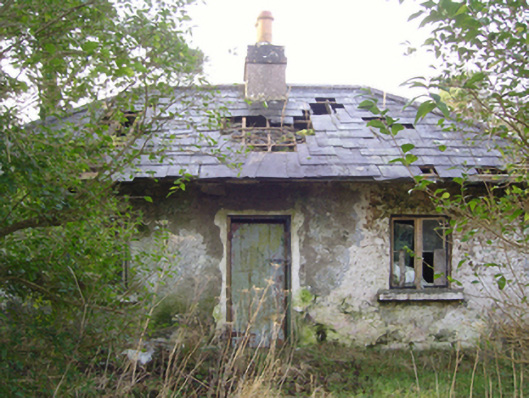 Cloonee Housegate lodge · 759 yd
 Stare IslandIslet · 1618 yd
 IndicatedChurch · 1720 yd
 Caislen-na-CirceCastle, tower house · 2.6 mi
 CastleCastle, unclassified · 2.7 mi
 European ashEuropean ash · 2.9 mi
 Kiltoom PointHeadland · 3.4 mi
 SycamoreSycamore · 3.5 mi
 LabbadermotCave · 3.7 mi