What is recorded here
In pasture, at a farmstead. A small circular feature, possibly a mound (diam. c. 10m), bordered on the W by NW−SE field boundary, is shown on the 1838 0S 6-inch map; it is not indicated on the 1920 edition, where a farmstead is shown on or adjacent to the location. No visible surface trace at ground level.
Compiled by: Jane O'Shaughnessy
Date of upload: 9 July 2020
The monument record does not grant public access. Check the route and ask the landowner before entering private land.
- What survives
- Recorded monument
Places near here
 Cloonfane National Schoolschool · 710 yd
 IndicatedFairy fort / earthen ringfort · 1.1 mi
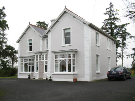 presbytery/parochial/curate's housepresbytery/parochial/curate's house · 1.2 mi
 Enclosure in Lavy MoreEnclosure · 1.5 mi
 Old Cave Burial GroundArchaeological place · 2.9 mi
 Bockagh HillMountain / peak · 5.0 mi
 Casatle (ruins)Castle, unclassified · 6.4 mi
 Crunaun Castle (in ruins)Castle, unclassified · 6.9 mi
 East Mayo Brigade MonumentMemorial · 8.2 mi
 Crow IslandIslet · 11 mi
 Castle PointHeadland · 12 mi
 Druminagh WoodForest · 12 mi