What is recorded here
Indicated is a lost fairy fort in County Mayo, Ireland, where a circular embankment once surrounded a central cave now buried beneath brambles and ferns. The 1838 map captured both the ring and the cave, but by 1920 only the cave remained visible, as if the fort had exhaled and vanished into the earth. That disappearance fits the region better than measurement does, for places there often keep their shape in memory rather than stone.
In pasture, in a thicket of brambles and ferns, located on a low NW−SE rise with a gradual fall of ground to N. A circular embanked enclosure is shown on the 1838 OS 6-inch map; a Man-made underground passage (MA063-029002-), indicated as ‘Cave’, in shown in its centre; on the 1920 edition only the ‘Cave’ is shown. When inspected in 1996 the area was obscured by overgrowth, but no upstanding remains of the ringfort were evident at ground level.
Compiled by: Jane O'Shaughnessy
Date of upload: 9 July 2020
Cloonfane is a circular embanked ringfort, likely dating to the early medieval period, situated in a thicket on a low rise. It is associated with local folklore of fairy hauntings, common to many such sites in Ireland.
The monument record does not grant public access. Check the route and ask the landowner before entering private land.
- What survives
- Recorded monument
Places near here
 Cloonfane National Schoolschool · 543 yd
 IndicatedFairy fort / earthen ringfort · 1.0 mi
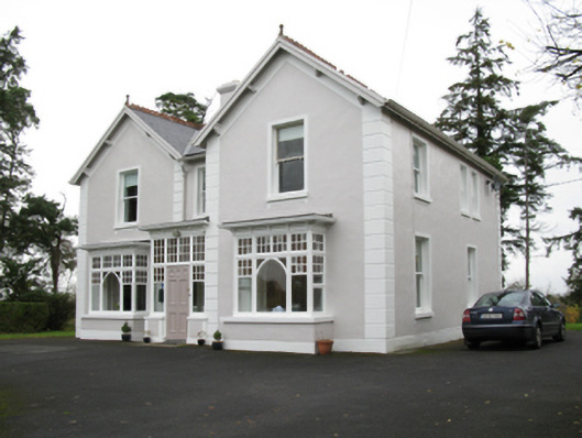 presbytery/parochial/curate's housepresbytery/parochial/curate's house · 1.1 mi
 Enclosure in Lavy MoreEnclosure · 1.5 mi
 Old Cave Burial GroundArchaeological place · 2.7 mi
 Bockagh HillMountain / peak · 5.0 mi
 Casatle (ruins)Castle, unclassified · 6.4 mi
 Crunaun Castle (in ruins)Castle, unclassified · 7.0 mi
 East Mayo Brigade MonumentMemorial · 8.4 mi
 Crow IslandIslet · 11 mi
 Castle PointHeadland · 12 mi
 Inch IslandIslet · 12 mi