What is recorded here
Listed in both the SMR (1989) and RMP (1995) and classified 'Enclosure Possible' and 'Tree Ring' respectively. In undulating pasture, on the demesne of Markree Castle (SL026-038----). On the 1838 edition of the OS 6-inch map it is depicted as an irregularly-shaped tree-covered area. Upstanding remains comprise an irregularly-shaped area (78m x 41m) enclosed by a fosse (Wth 3m; D 0.6m) with external bank (Wth 2.2m; ext. H 0.8m). The interior is planted with trees. This is a landscape feature of post-1700 AD date.
Compiled by: Archaeological Survey Unit, UCC
Date of upload: 11 January 2012
The monument record does not grant public access. Check the route and ask the landowner before entering private land.
- What survives
- Recorded monument
Places near here
 Field MapleField Maple · 364 yd
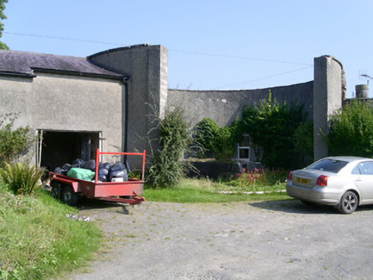 Markree Castlebuilding misc · 429 yd
 Bullpark FortFairy fort / earthen ringfort · 527 yd
 Indicated (1838).Fairy fort / earthen ringfort · 540 yd
 CastleCastle, motte and bailey · 741 yd
 European ashEuropean ash · 754 yd
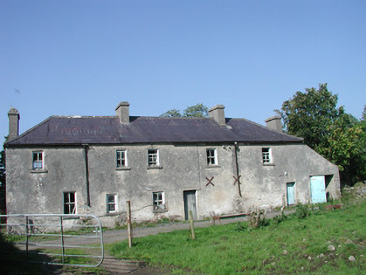 Tullymore Househouse · 1219 yd
 Teeling MonumentMemorial · 1.6 mi
 Battle of Collooneybattle · 1.6 mi
 Castle (Site of)Castle, unclassified · 1.9 mi
 Giants GraveArchaeological place · 2.3 mi
 BunreecoillMountain / peak · 2.8 mi