What is recorded here
In grassland, on S-facing slope. Circular area (diam. 27m) enclosed by earthen bank (H 1.2m) SW->NNE; scarp NE->SW. Gap in bank to NNE. West gable farm shed cuts into NE edge of enclosure. Possible Man-made underground passage (CO144-015002-) in interior.
The above description is derived from the published 'Archaeological Inventory of County Cork. Volume 1: West Cork' (Dublin: Stationery Office, 1992). In certain instances the entries have been revised and updated in the light of recent research.
Date of upload/revision: 14 January 2009
The monument record does not grant public access. Check the route and ask the landowner before entering private land.
- What survives
- Recorded monument
Places near here
 Man-made underground passage in ClooncunnigMan-made underground passage · 1 yd
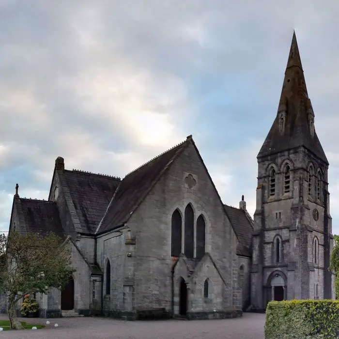 Church in ClooncunnigChurch · 271 yd
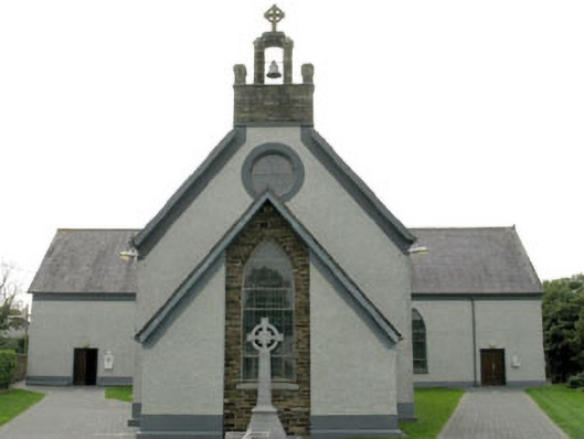 St James' Roman Catholic Churchchurch/chapel · 532 yd
 Man-made underground passage in Caher (ibane and Barryroe By.)Man-made underground passage · 940 yd
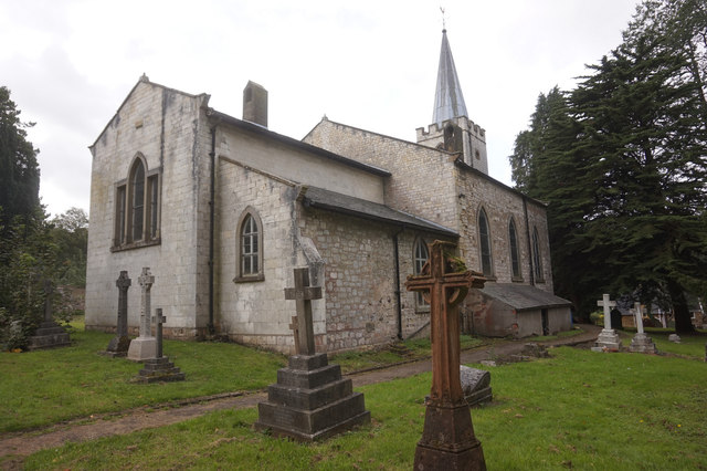 St. James WellSpring · 1344 yd
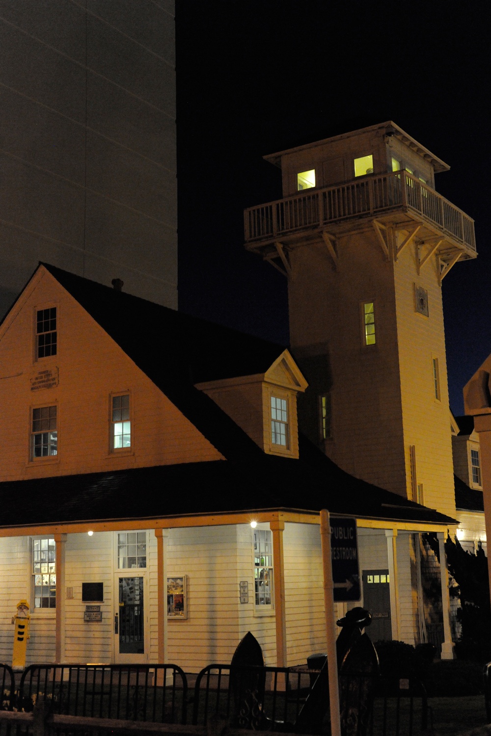 Old Coast Guard StationRuins · 1.1 mi
 CastleCastle, unclassified · 1.3 mi
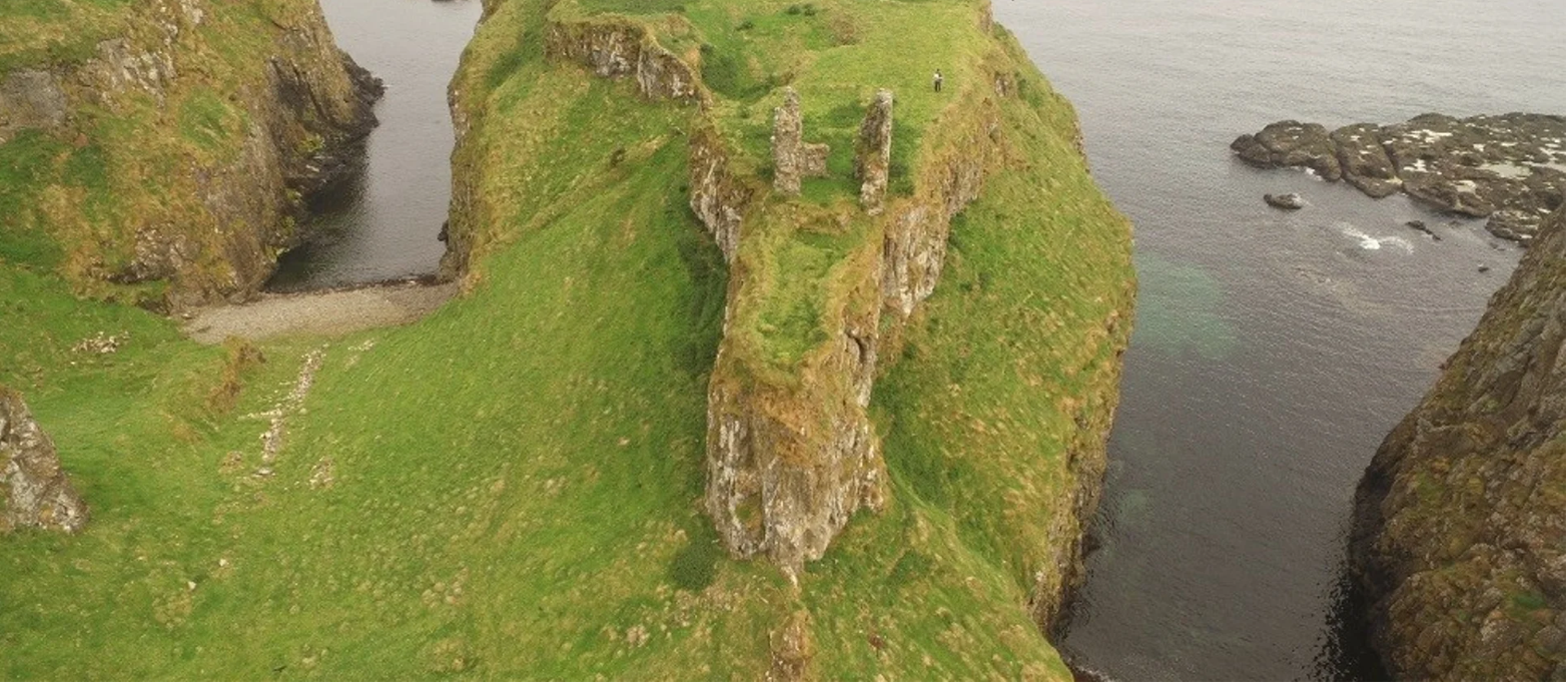 Dunnycove Castle (in Ruins)Castle, tower house · 1.5 mi
 Red StrandBeach / strand · 2.1 mi
 Cottage MuseumMuseum · 2.1 mi
 Inchydoney BeachBeach / strand · 2.3 mi
 Long Strand DunesNature reserve · 2.6 mi