What is recorded here
At the SE edge of a low ridge in pasture. Depicted as a circular enclosure with the designation 'Fort' on the 1837 ed. of the OS 6-inch map. A raised subrectangular area (35.5m NE-SW; 33m NW-SE) enclosed by a low bank of earth and stone (Wth 2.2m; H 0.5m) on the NW side and defined by a scarp (H 0.8-1.1m) on the other three sides. A report in 1976 (SMR file) recorded an external fosse, which is no longer identifiable. There are breaks in the bank at the S end of the SE side (Wth 4m) and at the W end of the NW side (Wth 3m).
Compiled by: Patrick F. O'Donovan
Date of upload: 23 January 2012
The monument record does not grant public access. Check the route and ask the landowner before entering private land.
- What survives
- Recorded monument
Places near here
 Enclosure in ClooncullenEnclosure · 405 yd
 IndicatedFairy fort / earthen ringfort · 440 yd
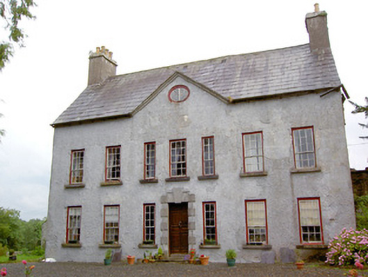 Creevaghmorecountry house · 1071 yd
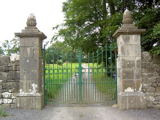 Clooncallow Housegates/railings/walls · 1371 yd
 Guest ServicesVisitor information · 1.2 mi
 Craft WorkshopHeritage attraction · 1.3 mi
 Target WoodWood · 1.4 mi
 Ballymulvey Ho.Castle, unclassified · 1.5 mi
 Newcastle WoodsForest · 1.6 mi
 Goldsmith Birthplace, PallasVisitor information · 1.9 mi
 European BeechEuropean Beech · 2.1 mi
 Noughaval CemeteryArchaeological place · 2.5 mi