What is recorded here
In undulating, cleared pasture. Shown on 1838 OS 6-inch map as a circular enclosure, and on the 1929 OS 6-inch map as a roughly oval walled enclosure (diam. c. 40m N-S; c. 35m E-W) with the interior bisected slightly to NE of centre by a wall on a NW-SE axis. Also recorded in an aerial photograph (GSI M 118 -9; Roll 198, pr. 29) (SMR file). Levelled; no visible trace. In An Archaeological Survey of Ballinrobe and District (Lavelle 1994; p. 51, no. 342) an oval-shaped mound of clearance material (diam. 38m; H 2.3m) is recorded as occuping the site, possibly overlying the remains. In fact, the mound lies c. 45m to SE of the enclosure.
Compiled by: Jane O'Shaughnessy
Date of upload: 5 November 2013
This remains an important historical record, but the official description says the monument is no longer visible or has been destroyed. The monument record does not grant public access. Check the route and ask the landowner before entering private land.
- What survives
- No visible remains or recorded as destroyed
Places near here
 IndicatedFairy fort / stone ringfort · 1007 yd
 Castle in ruinsCastle, unclassified · 1215 yd
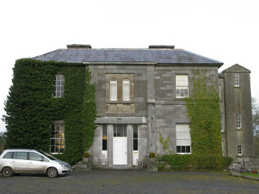 Curraghmorecountry house · 1425 yd
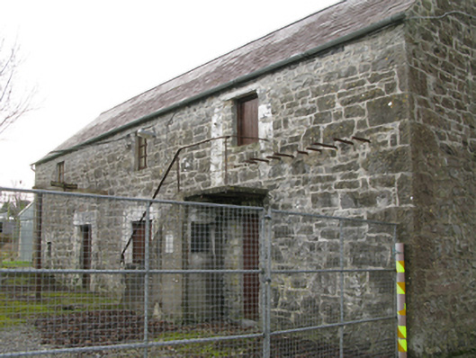 mill (water)mill (water) · 1547 yd
 Long IslandIslet · 1.0 mi
 Carrigeen ShangormanIslet · 1.1 mi
 Ecclesiastical enclosure in Kilkeeran (kilmaine By., Ballinrobe Par.)Ecclesiastical enclosure · 1.1 mi
 LabbadermotCave · 1.3 mi
 Black RocksNamed rock · 2.1 mi
 CastleCastle, unclassified · 2.2 mi
 European ashEuropean ash · 2.2 mi
 Devenish RocksNamed rock · 2.3 mi