
What is recorded here
At the bottom of a W-facing slope c. 190m W of Cloonburren church (RO056-007002-). John O’Donovan writing in 1837 says there was a holy well ‘at the foot of this cross (RO056-005----)’ but it had moved to the other side of the road because clothes had been washed in it, and it had subsequently dried up when drains were dug to protect the road (O’Flanagan 1931, 1, 24-5; Herity 2010, 16). A well is marked on the 1915 ed. of the OS 6-inch map c. 220m ESE of the wayside cross but it is not known if it was a holy well and is no longer extant.
Compiled by: Michael Moore
Date of upload: 24 August 2010
Linked to an early Christian tradition, the site is associated with a holy well mentioned by John O’Donovan in 1837, originally located at the foot of a cross but later relocated. The well may have been connected to a local saint or pilgrimage practice, though specific details of its folklore or patron saint are not clearly recorded.
The monument record does not grant public access. Check the route and ask the landowner before entering private land.
- What survives
- Recorded monument
Places near here
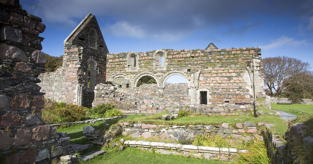 Religious house nunneryReligious house nunnery, unclassified · 217 yd
 Cross in CloonburrenCross · 218 yd
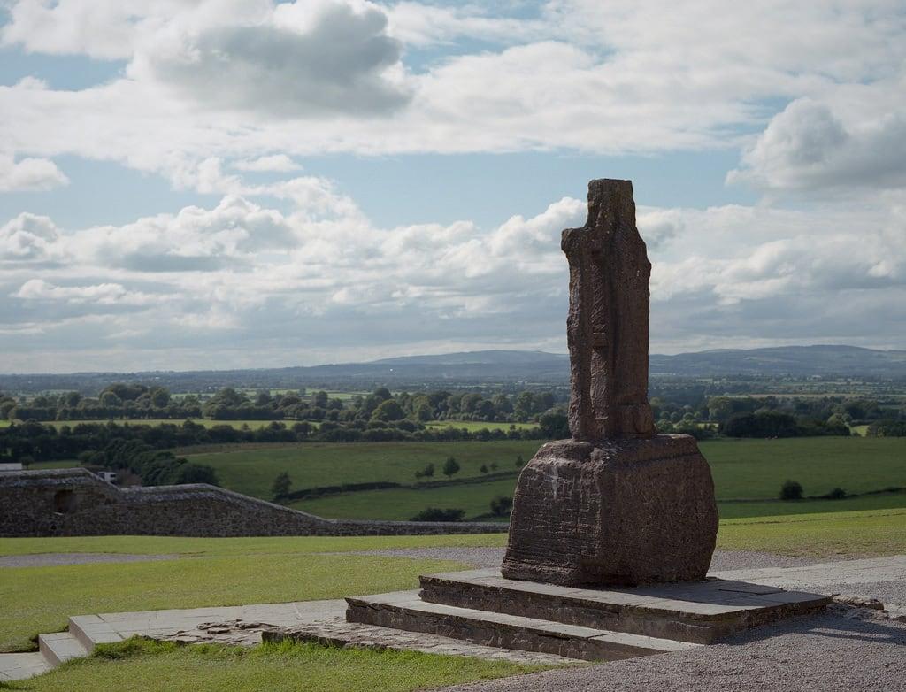 Cross (present location) in CloonburrenCross (present location) · 221 yd
 Cloonburren MoteCastle, motte and bailey · 950 yd
 CastleCastle, unclassified · 1.1 mi
 Devenish IslandIsland · 1.3 mi
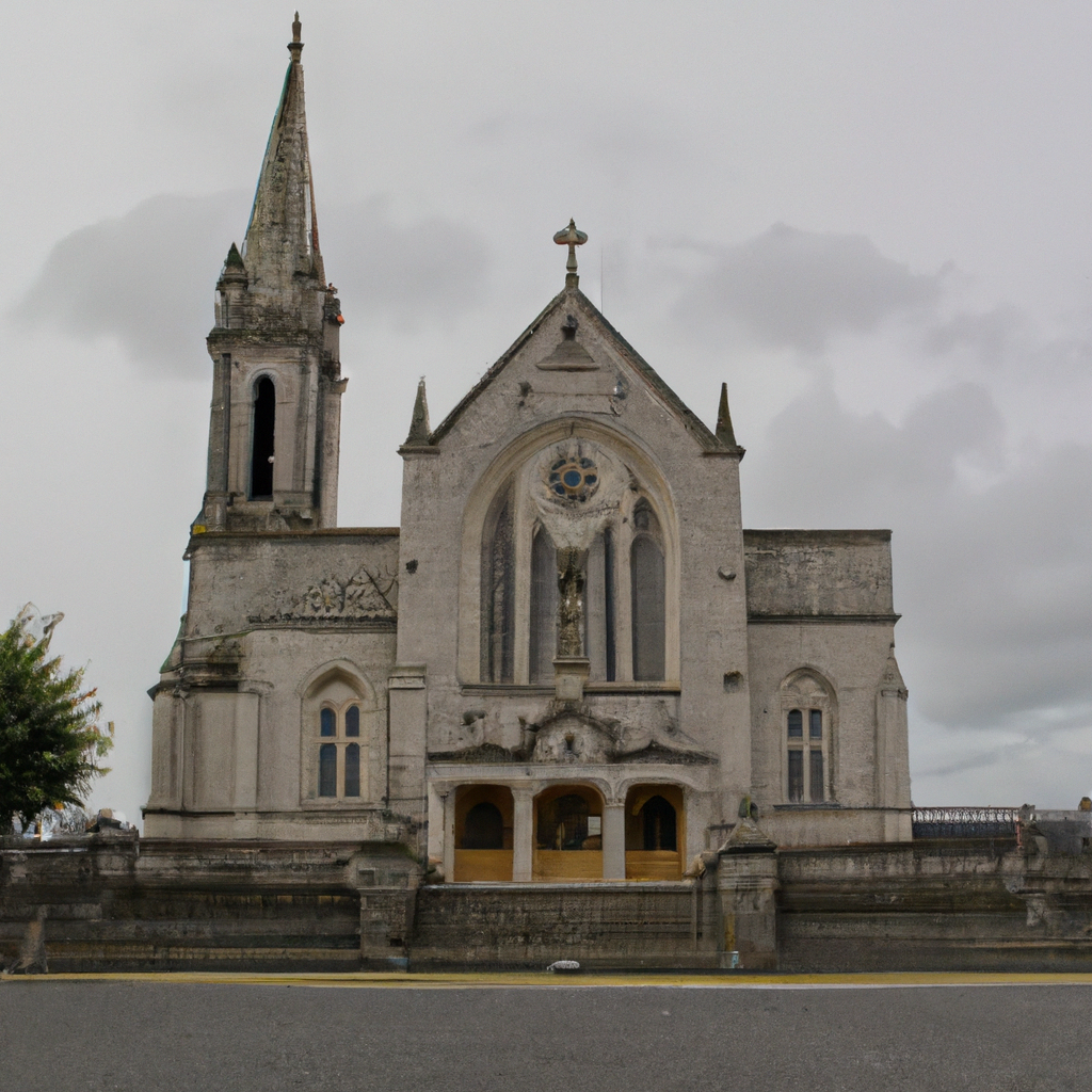 Church (in Ruins)Church · 1.5 mi
 Split HillMountain / peak · 1.6 mi
 Long IslandIsland · 2.0 mi
 Shannonbridge - Nearby AttractionsVisitor information · 2.4 mi
 HawthornHawthorn · 2.5 mi
 Sugarloaf HillMountain / peak · 2.7 mi
Other information
Photo: Credit not shown in the picture search · Rights wording not checked; contact us if this picture should be removed