What is recorded here
Indicated is a fairy fort or earthen ringfort in Cloonaraher (leyny By.), County Sligo, Ireland. It is the more south-westerly of two conjoined raths in low-lying pasture on the SE edge of a low elevation. A roughly circular area 32.6m NE-SW and 34m NW-SE is defined by a sod-covered stone bank NE-SE, a substantial gravel and stone bank S-W, and a gapped stony rise W-N. The bank merges N-NE with the stone bank enclosing the conjoined rath to NE.
In low-lying pasture, on the SE edge of a low elevation. The more south-westerly of two conjoined raths (SL032-043002-). A roughly circular area (32.6m NE-SW; 34m NW-SE) defined by a sod-covered stone bank NE-SE, by a substantial bank of gravel and stone (Wth 4m; int. H 0.7m; ext. H c. 1m) S-W and by a gapped stony rise (Wth 3-3.6m; int. H 0.7m; ext. H 0.6m) W-N. The bank merges N-NE with the stone bank enclosing the conjoined rath to NE. A quarry pit truncates the enclosing element SSE-S. Immediately outside the bank to SW is another area of quarrying. The NW quadrant appears to be at a slightly higher level than the rest of the interior. There is a broad shallow depression (c. 8m NW-SE; 4-5m NE-SW) without clearly defined edges in the NE quadrant, marked by a concentration of irises. A ruined field wall skirts the rath WSW-NNE at a distance of c. 1m. At NNE this abuts the later wall which tops the stone bank enclosing the conjoined rath (SL032-043002-).
The above description is derived from the published 'Archaeological Inventory of County Sligo' compiled by Ursula Egan, Elizabeth Byrne, Mary Sleeman with Sheila Ronan and Connie Murphy (Dublin Stationery Office, 2005).
Date of upload: 18 January 2008
The monument record does not grant public access. Check the route and ask the landowner before entering private land.
- What survives
- Recorded monument
Places near here
 IndicatedFairy fort / earthen ringfort · 1063 yd
 Hachured (1838).Fairy fort / earthen ringfort · 1258 yd
 Carrowmore National Schoolschool · 1292 yd
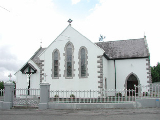 Catholic Church of the Sacred Heartchurch/chapel · 1724 yd
 KnocknasheeMountain / peak · 1.2 mi
 Muckelty HillMountain / peak · 2.3 mi
 CastleCastle, unclassified · 2.5 mi
 The Turf Stack RockNamed rock · 4.1 mi
 European ashEuropean ash · 4.5 mi
 Ballyara Castle (in Ruins)Castle, unclassified · 4.8 mi
 ElderElder · 4.9 mi
 White RockNamed rock · 6.1 mi