What is recorded here
In improved pasture, located on a rise, overlooking an area of rough wettish pasture to SE–S.
Shown on the 1837 OS 6-inch map as a roughly circular enclosure (diam. c. 20m), and on the 1930 edition as a hachured arc, curving SE–W. On both editions it is enclosed within a roughly D-shaped wooded area (c. 60m NE–SW; c. 60m NW–SE) defined by field boundaries.
The enclosure was removed during land reclamation; a NE–SW property fence, which formed the NW side of the large D-shaped wooded area, is extant, but all other field boundaries and the wood have been removed. The enclosure appears to have been located on top of a natural sub-circular rise. A contoured scarp can be traced on the SW–W side of the rise but it is unclear if is a remnant of the enclosure.
Compiled by: Jane O’Shaughnessy
Date of upload: 13 April 2018
A local fairy fort (ringfort/rath); wider significance not recorded.
The monument record does not grant public access. Check the route and ask the landowner before entering private land.
- What survives
- Recorded monument
Places near here
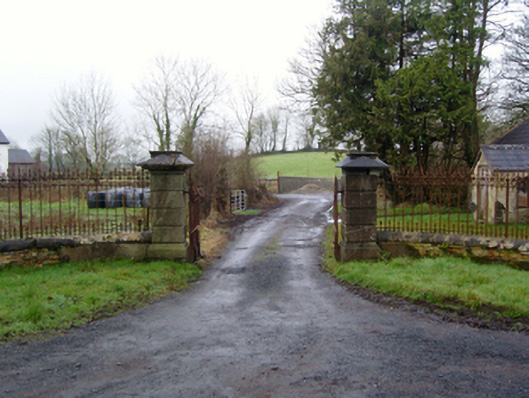 Rappa Castlegates/railings/walls · 487 yd
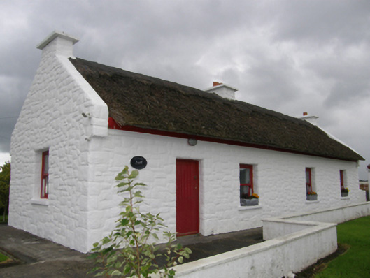 Kelly's Cottagehouse · 741 yd
 IndicatedFairy fort / earthen ringfort · 773 yd
 RathnamuffFairy fort / earthen ringfort · 1.4 mi
 Deel CastleCastle · 1.4 mi
 CastleCastle, tower house · 1.6 mi
 Battle of Ballinabattle · 3.1 miHumbert MonumentMemorial · 3.6 mi
 Belleek WoodsWood · 3.8 mi
 FloretteWreck · 4.1 mi
 Rinphilip PointHeadland · 4.3 mi
 Roe IslandIslet · 4.6 mi