What is recorded here
In pasture, straddles the N side of a small rise. Ground rises gradually to S and E.
Shown on the 1837 OS 6-inch map as a circular embanked enclosure (diam. 20-25m); it is not shown on later map editions. There is a grass-covered, roughly circular raised area (17.6m NW-SE; c. 15m NE-SW) at this location. It is defined NW−NNE by a scarp or slope (H 1.9m; Wth slope 6.5m) which merges with the natural slope, at NE−SW by a low scarp (H 0.9m, at SE), and it is truncated at W by a quarry pit (diam. 6m).
There is an enclosure (MA062-062----) located 80m to SW.
Compiled by: Jane O’Shaughnessy
Date of upload: 30 November 2020
The monument record does not grant public access. Check the route and ask the landowner before entering private land.
- What survives
- Recorded monument
Places near here
 bridgebridge · 1540 yd
 IndicatedFairy fort / earthen ringfort · 1662 yd
 Enclosure in KillaturlyEnclosure · 1.6 mi
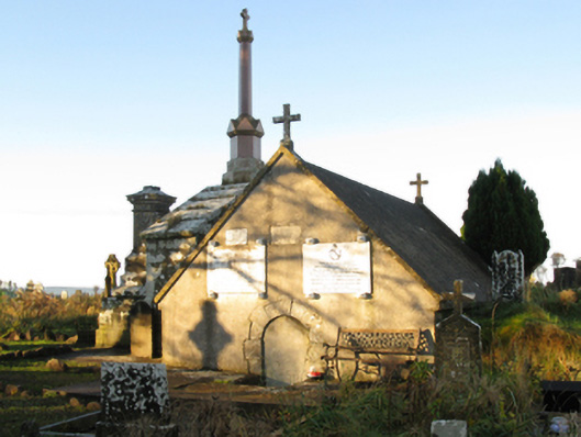 mausoleummausoleum · 1.8 mi
 Procession Of The SoulsMemorial · 2.1 mi
 Brabazon WoodsForest · 2.2 mi
 Youth Memorial GardenMemorial · 2.4 mi
 HawthornHawthorn · 3.5 mi
 Castle (in Ruins)Castle, unclassified · 3.9 mi
 Hennigan's Heritage CentreHeritage attraction · 4.0 mi
 Thorn CaveCave · 5.1 mi
 Kiltimagh MuseumMuseum · 8.2 mi