What is recorded here
Towards the bottom of a gentle S-facing slope in pasture. Indicated as a circular enclosure on the 1920 OS 6-inch map and noted as a circular feature on a high-altitude GSI photograph (SMR file). Listed as ‘Enclosure’ in the SMR (1992) and the RMP (1996). On inspection in 1999 only the curving field boundary E-SW was still visible (chord 26m) and much field spoil had been placed against it.
Compiled by: Mary Tunney
Date of upload: 1 December 2025
A local fairy fort (ringfort/rath); wider significance not recorded.
- Townland
- Cloona
- Official type
- Enclosure
- Official record
- CL025-112----
- What survives
- Recorded monument
- Location
- Official recorded centre point
The monument record does not grant public access. Check the route and ask the landowner before entering private land.
Places near here
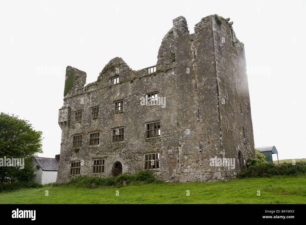 Indicated — MollaneenFairy fort / stone ringfort · 375 yd
 Enclosure in KilleenanEnclosure · 902 yd
 Kilkee Castle (Site of) — Kilkee EastCastle — unclassified · 1124 yd
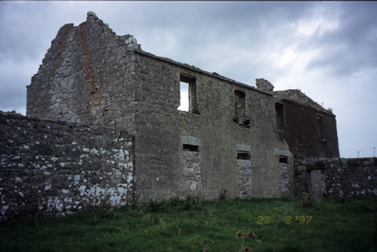 Mollaneen Housefarm house · 1218 yd
 Bawn in Dysert (inchiquin By.)Bawn · 1285 yd
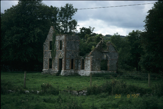 The Lodge — MOLLANEENhouse · 1613 yd
 Ballygriffy WoodWood · 2.0 mi
 Battle of TullyodeaBattlefield · 2.3 mi
 Ardcarney WoodWood · 3.0 mi
 Rock IslandIsland · 3.1 mi
 Inchiquin IslandIslet · 3.2 mi
 Fergus River CaveCave · 5.2 mi