
What is recorded here
The earthworks of an old roadway leading into a farmhouse which no longer survives is visible in the ground as a semi-circular shaped earthwork that has the appearance of a possible circular enclosure or embanked enclosure of archaeological significance. However examination of the first edition OS 6-inch map shows these earthworks to be the remains of an old roadway leading into a farmyard. This roadway and farmyard is not depicted on the current edition of the OS 6-inch map. The trackway and farmyard were levelled between the two editions of the OS 6-inch maps.
Compiled by Caimin O'Brien
Date of upload / revision : 16 August 2010
The monument record does not grant public access. Check the route and ask the landowner before entering private land.
- What survives
- Recorded monument
Places near here
 Mound in ClonascraMound · 339 yd
 Burial in ClonascraBurial · 520 yd
 RoadRoad, gravel/stone trackway, peatland · 1077 yd
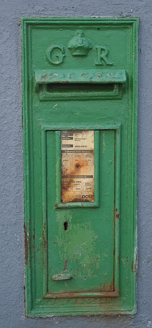 post boxpost box · 1526 yd
 ClonmacnoiseMuseum · 2.2 mi
 Graveyard in ClonmacnoiseGraveyard · 2.2 mi
 Castle or Bishops PalaceCastle, Anglo-Norman masonry castle · 2.3 mi
 HawthornHawthorn · 2.6 mi
 Clonlyon CastleCastle, tower house · 3.5 mi
 European ashEuropean ash · 4.0 mi
 Endrim HillMountain / peak · 4.0 mi
 Devenish IslandIsland · 4.3 mi
Other information
Photo: Credit not shown in the picture search · Rights wording not checked; contact us if this picture should be removed