What is recorded here
Clonamondra is a circular bawn in County Tipperary where a modern road and quarry spoil have cut through its outer defenses. The surviving earth bank still rings a grassy yard wide enough for a hall or fortified house, though no entrance remains clear. What was lost to bulldozers and wheels may have been the collapsed roof of that building, buried under grass until the wall footings reappeared.
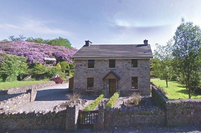
On flat level grassland with good views in all directions. Poorly preserved remains of a circular area (int. diam. 26m NW-SE; 20m NE-SW) enclosed by an earth and stone bank (top Wth 2.5m; base Wth 4m; int. 1m; ext. H 1m), inner fosse (base Wth 2.5m; top Wth 5m; ext. D 0.7m) and outer bank (top Wth 2m; base Wth 3.5m; ext. H 0.5m) only visible from NW through N to E elsewhere the inner bank has been reduced to a scarp and the fosse and outer bank are destroyed. A modern roadway up to Clonamondra Cottage intersects site at S on a NW-SE axis destroying the outer bank and fosse along this side. There is the spoil heap of a quarry in the S quadrant of the enclosure. There is no clear entrance feature visible, modern gap in bank at SE (Wth 5m). The wall-footings of long rectangular building (TS049-003---) run NW-SE off the inner face of the bank at NW. These could be the wall-footings of an early medieval hall or a later fortified house with the enclosure acting as a bailey or bawn. The mounument is depicted on the OS 6-inch map as a mound enclosed by a fosse. Some years ago some bulldozing was carried out at the site, this mound may have been the grassed over remains of collapsed rubble from the rectangularl building, the wall-footings of which survived the partial land clearance.
Compiled by: Jean Farrelly
Date of upload: 30 May 2012
The monument record does not grant public access. Check the route and ask the landowner before entering private land.
- What survives
- Recorded monument
Places near here
 CastleCastle, unclassified · 11 yd
 IndicatedFairy fort / earthen ringfort · 487 yd
 Knockaun FortArchaeological place · 500 yd
 Littlefield Housecountry house · 924 yd
 Bregaun HillMountain / peak · 1139 yd
 Clonamicklon Castle (in ruins)Bawn · 1204 yd
 Buolick Church (in ruins)Church · 1.5 mi
 Rapefield WoodForest · 1.8 mi
 Kilcooly AbbeyHeritage attraction · 1.9 mi
 KilcooleyForest · 2.2 mi
 Warhouse HillMountain / peak · 3.3 mi
 Derrynaflan TrailHeritage attraction · 5.3 mi