
What is recorded here
Indicated on the 1st (1839) ed. OS 6-inch map as an oval enclosure (dims. c. 28m NE-SW; c. 15m NW-SE) and as a roughly circular enclosure (diam. c. 23m) shown on the 1900 revision. By 1987 this monument had been levelled. The N portion has been quarried and the S portion been truncated by a public road running E-W.
Compiled by: Jean Farrelly
Date of upload: 23 July 2019
The monument record does not grant public access. Check the route and ask the landowner before entering private land.
- What survives
- Recorded monument
Places near here
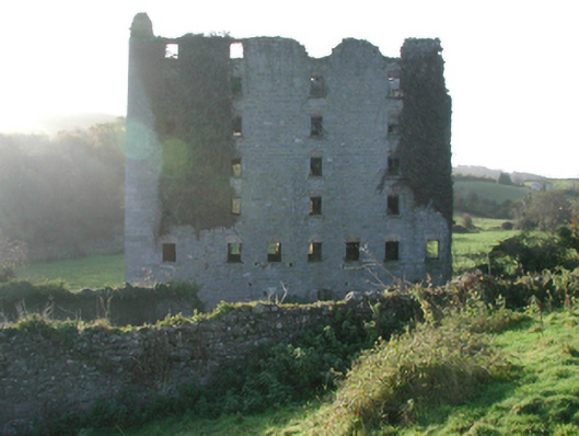 Clomantagh Millsmill (water) · 407 yd
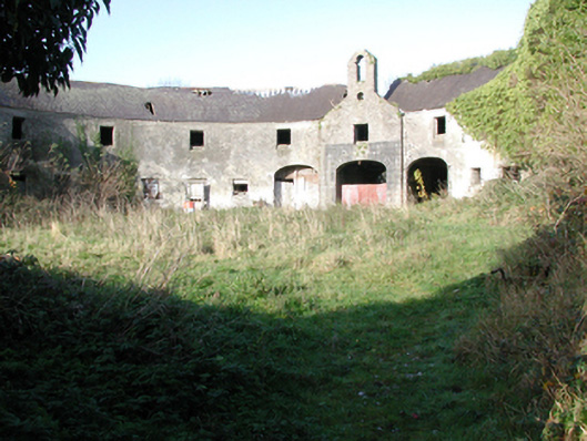 outbuildingoutbuilding · 431 yd
 TobermurryHoly well · 674 yd
 Enclosure in Clomantagh LowerEnclosure · 773 yd
 Killoshulan Castle (ruin)Castle · 1352 yd
 CastleCastle, tower house · 1387 yd
 Clomantagh HillMountain / peak · 2.0 mi
 Kildrinagh WoodForest · 2.4 mi
 John HelyMemorial · 4.0 mi
 DelaneyMemorial · 4.1 mi
 Street fieldArchaeological place · 4.7 mi
 Anker's IslandIsland · 7.6 mi
Other information
Photo: Credit not shown in the picture search · Rights wording not checked; contact us if this picture should be removed