What is recorded here
On the SE-facing slope of a prominent ridge. The remains consist of a semicircular terrace (c. 27m E-W; c. 20m N-S) defined by traces of a possible scarp (H c. 1.5m) cut into the natural slope, most clearly visible E-SE. At the edge of the terrace, NE-SE, is a steep fall of ground, covered with overgrowth. From SE-SW the slope is more gentle, dropping into a narrow dip that separates the terrace from the steeply rising slope of a parallel ridge. A field boundary on NNW-SSE axis, engulfed in overgrowth, obscures the W arc. An E-W field boundary wall (Wth c. 1m; H c. 0.5m), densely covered in blackthorn bushes and brambles, creates a straight N side to the terrace at the interface with the steeply rising ridge slope.
The above description is derived from the published 'Archaeological Inventory of County Sligo' compiled by Ursula Egan, Elizabeth Byrne, Mary Sleeman with Sheila Ronan and Connie Murphy (Dublin Stationery Office, 2005).
Date of upload: 18 January 2008
The monument record does not grant public access. Check the route and ask the landowner before entering private land.
- What survives
- Recorded monument
Places near here
 Enclosure in Cloghoge LowerEnclosure · 615 yd
 Enclosure in Carrowkeel (tirerrill By., Templevanny Ed)Enclosure · 848 yd
 Castlebaldwincastle/fortified house · 1127 yd
 Castle BaldwinCastle · 1127 yd
 Bricklieve Castle (in Ruins)Castle, unclassified · 1.1 mi
 Bricklieve MountainsMountain / peak · 1.1 mi
 Treanscrabbagh caveCave · 1.2 mi
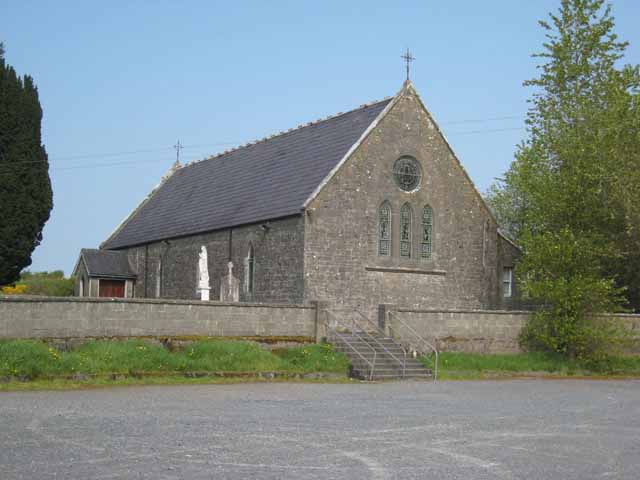 Saint Patrick's Catholic Churchchurch/chapel · 1.3 mi
 Annaghgowla IslandIslet · 1.6 mi
 Carricknahorna EastMountain / peak · 1.8 mi
 InishmoreIslet · 2.0 mi
 School CaveCave · 2.2 mi