
What is recorded here
In pasture, on W-facing slope, with extensive view SW->NE; graveyard (CO136-002002-) and church (CO136-002003-) nearby to SE. Hachured as circular platform (diam. c. 40m) on OS 6-inch map (1842). Levelled; slight rise evident.
The above description is derived from the published 'Archaeological Inventory of County Cork. Volume 1: West Cork' (Dublin: Stationery Office, 1992). In certain instances the entries have been revised and updated in the light of recent research.
Date of upload/revision: 14 January 2009
The monument record does not grant public access. Check the route and ask the landowner before entering private land.
- What survives
- Recorded monument
Places near here
 Templequinlan Church (in Ruins)Church · 62 yd
 Man-made underground passage in CloghgriffinMan-made underground passage · 355 yd
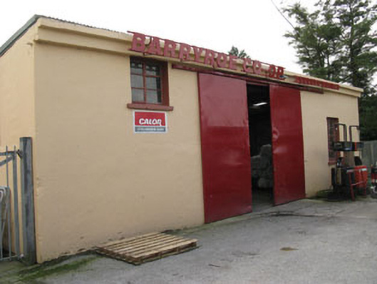 Barryroe Creamerycreamery · 575 yd
 Castle (Site of)Castle, unclassified · 610 yd
 Enclosure in Carhoo (ibane and Barryroe By., Timoleague Par.)Enclosure · 751 yd
 Michael Collins CentreMuseum · 1331 yd
 Ballinoroher CastleCastle · 1.3 mi
 Garden WoodWood · 2.1 mi
 Argideen Loop WalksVisitor information · 2.2 mi
 Graveyard in KilmalodaGraveyard · 2.5 mi
 English hollyEnglish holly · 2.6 mi
 Inchydoney & Coast ViewsViewpoint · 2.7 mi
Other information
Photo: Credit not shown in the picture search · Rights wording not checked; contact us if this picture should be removed