
What is recorded here
Indicated is a collapsed stone house and failing field walls on a remote Kerry hill, abandoned since the 18th or 19th century. Its door still faces the churned west sky, while clearance cairns dot the pasture like forgotten beehives. The lake appears beyond the broken gable, unchanged since the last person left the stones bare.
Located within Killarney National Park on remote stony heather-covered hill pasture on W-facing slopes with views to the Upper Lake. A field system and house are indicated on the OS 6-inch map. These are the largely collapsed remains of an abandoned 18th-/19th-century settlement. The roofless and partially collapsed house remains (int. 5.4m NE-SW; 3.2m NW-SE) have a masonry stone and clay mortar wall (H 1-2m; T 0.7m) with a door opening at NW. Part of the SE gable is intact. An animal enclosure abuts the SE corner externally. The roughly constructed field walls, in the surrounding area, are collapsing. There are several large field clearance cairns in some of the fields. From a distance they look like small bee-hive huts.
Compiled by: Elizabeth Byrne, Ursula Egan and Sheila Ronan, Archaeological Survey Unit, University College, Cork.
Date of upload: 31 January 2011
The monument record does not grant public access. Check the route and ask the landowner before entering private land.
- What survives
- Recorded monument
Places near here
 English hollyEnglish holly · 750 yd
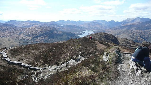 Torc Mountain W TopMountain / peak · 885 yd
 Torc MountainMountain / peak · 1414 yd
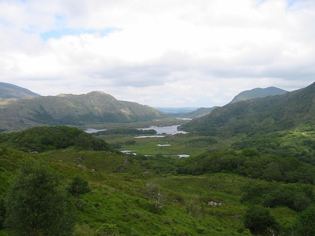 Killarney National ParkHeritage attraction · 1701 yd
 Church ruinsRuins · 1.0 mi
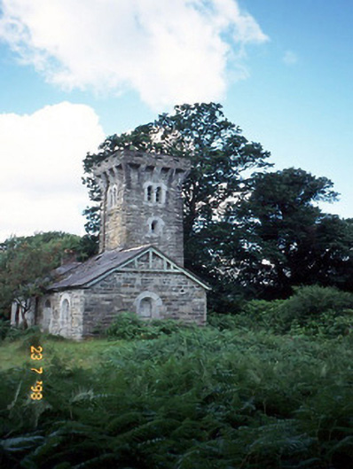 Tower Lodgegate lodge · 1.0 mi
 Scots PineScots Pine · 1.1 mi
 Bog BayBay · 1.3 mi
 QuayQuay · 1.3 mi
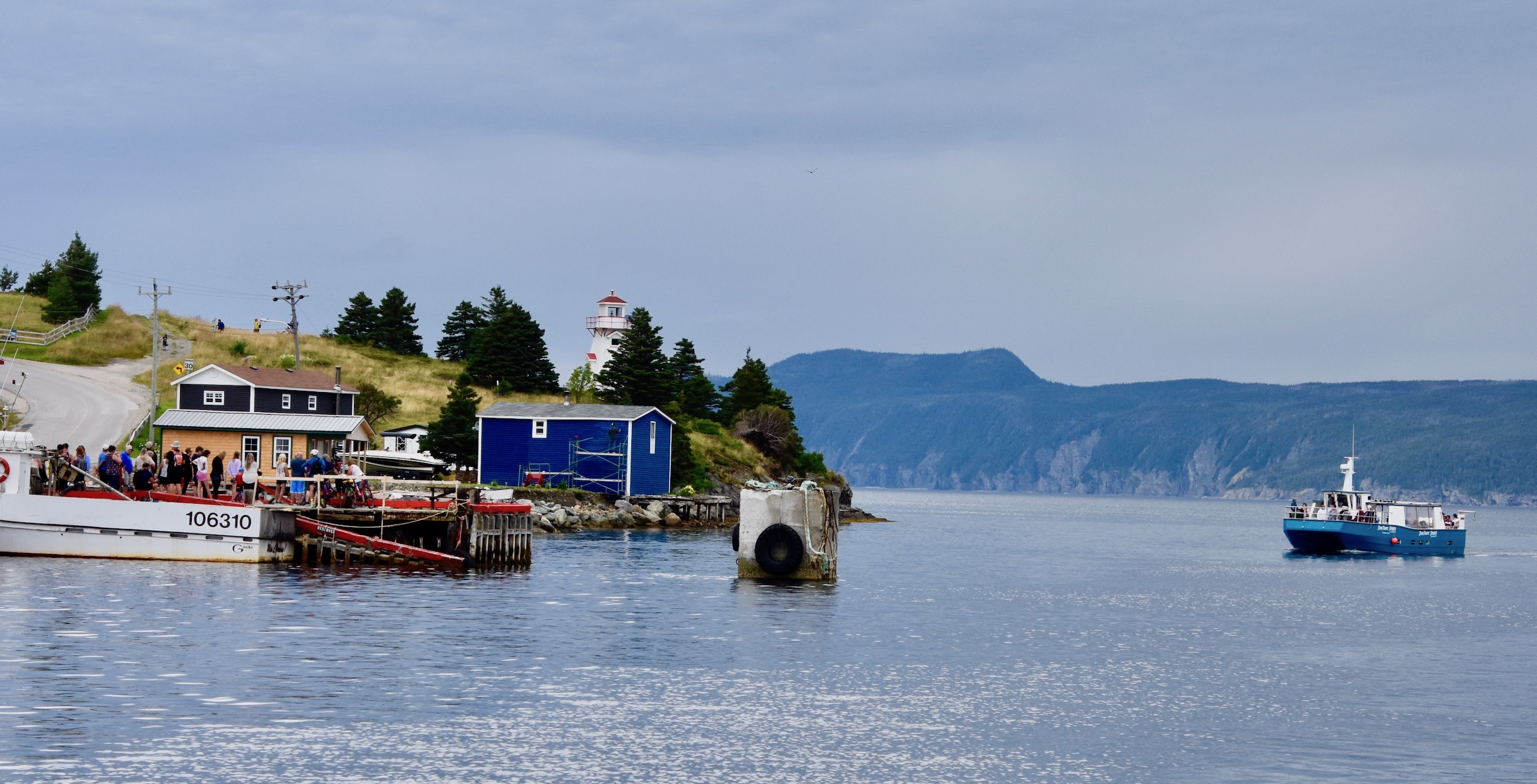 Newfoundland BayBay · 1.4 mi
 Meeting of the watersViewpoint · 1.4 mi
 Muckross Lake WalkWalking route · 1.4 mi
Other information
Photo: Credit not shown in the picture search · Rights wording not checked; contact us if this picture should be removed