What is recorded here
Shown on 1842 OS 6-inch map as 'Mill'; built into NW-facing slope overlooking Lee Valley Reservoir; now stands at edge of gravel quarry. Rectangular (7.93m NW-SE; 5.15m NE-SW) 2-storey structure, low ivy-clad gables. Ground floor door in NW wall; 1st-floor door in SW wall also exits at ground level due to rise in slope. Wheel-pit along NE wall (Wth 0.73m) with low tail-race arch. Corn mill (CO072-111001-) to SW.
The above description is derived from the published 'Archaeological Inventory of County Cork. Volume 3: Mid Cork' (Dublin: Stationery Office, 1997). In certain instances the entries have been revised and updated in the light of recent research.
Date of upload/revision: 14 January 2009
The monument record does not grant public access. Check the route and ask the landowner before entering private land.
- What survives
- Recorded monument
Places near here
 Corn Mill (Disused)Mill, corn · 110 yd
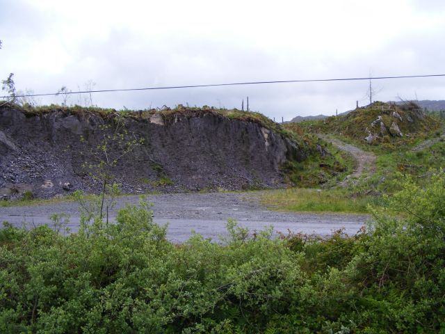 Quarry in CronodyQuarry · 369 yd
 Abbey (Site of)Ecclesiastical site · 747 yd
 Church (Remains of)Ecclesiastical enclosure · 1091 yd
 Bob AdamsMemorial · 1.0 mi
 Castle Inch (in Ruins)Castle, tower house · 1.4 mi
 Coachford Greenway (End)Visitor information · 1.5 mi
 Farran WoodWood · 1.9 mi
 Iniscarra Dam ViewViewpoint · 2.0 mi
 Ballyanly Inniscarra Slí na SláinteWalking route · 2.3 mi
 Kilcrea CastleWood · 2.6 mi
 Kilcrea Castle (in Ruins)Castle, tower house · 2.6 mi