What is recorded here
In pastureland. Marked as a sand pit on the 1st edition of the OS 6-inch map and as a hachured circular feature on the 1898-9 resurvey. No visible surface trace survives. Cartographic evidence suggests it was a pit. As it is of post-AD 1700 date it does not come within the remit of the Archaeological Survey of Ireland.
Compiled by: Olive Alcock
Date of upload: 9 July 2014
The monument record does not grant public access. Check the route and ask the landowner before entering private land.
- What survives
- Recorded monument
Places near here
 Copper MineMine, copper · 93 yd
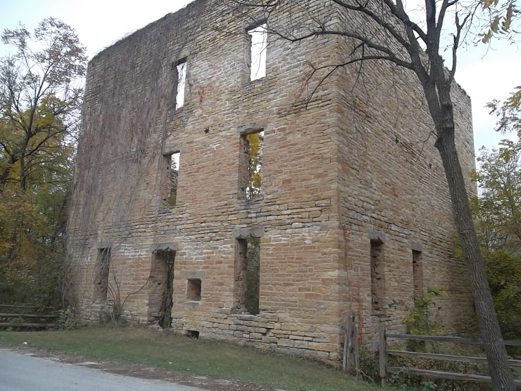 Mill RuinMill, corn · 193 yd
 Enclosure in Canrawer WestEnclosure · 634 yd
 Man-made underground passage in ClareMan-made underground passage · 751 yd
 Owenriff WayWalking route · 1538 yd
 CastleCastle, unclassified · 1676 yd
 Glengowla Mines MuseumMuseum · 1.5 mi
 Glengowla MinesHeritage attraction · 1.5 mi
 Newvillage ForestForest · 1.6 mi
 Inis Dáith BhuíIslet · 1.7 mi
 RoeillaunIslet · 1.9 mi
 AnnaghwoodWood · 2.5 mi