What is recorded here
Excavation in 2005 as part of works associated with the N18 Ennis Bypass and N85 Western Relief Road immediately outside the S range of Clareabbey (CL033-120----) and parallel to the W wall of the cloister, revealed two gullies (5m apart) running parallel to each other in a NE-SW direction. This corresponds with a trackway shown on the 1840 OS 6-inch map that led to the abbey church gate. The E gully was radiocarbon dated to AD 1220-1310 and AD 1360-1380 (Beta-231533). Four large post-holes continued on the line of the E gully and a pig bone from one of these was dated to AD 1160-1290. It is more than likely that the trackway existed in the 13th or 14th century. (Hull and Joubert 2008, 22)
Compiled by: Mary Tunney
Date of upload: 18 May 2015
The monument record does not grant public access. Check the route and ask the landowner before entering private land.
- What survives
- Recorded monument
Places near here
 Clare Abbey (in ruins)Religious house, Augustinian canons · 30 yd
 Saint Flannan's Collegeschool · 1164 yd
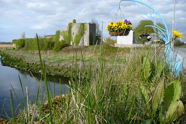 Clare CastleCastle · 1667 yd
 G.A.A. Commemorative StoneMemorial · 1704 yd
 Irish Famine MemorialMemorial · 1727 yd
 IndicatedFairy fort / earthen ringfort · 1.0 mi
 CastleCastle, tower house · 1.1 mi
 ToberdooranHoly well · 1.1 mi
 Clare MuseumMuseum · 1.2 mi
 Ennis AbbeyMuseum · 1.3 mi
 Post Office FieldNature reserve · 1.3 mi
 Rockmount WoodWood · 1.6 mi