What is recorded here
Indicated is a fairy fort or earthen ringfort in Claragh Scotch, County Sligo, Ireland. The slightly raised D-shaped area sits on a knoll above pasture and measures thirty-six metres along its longest axis. A gapped earthen bank forms part of the boundary while a scarp defines the rest, creating an interior that slopes gently downward. Survey maps from 1838 and 1914 both marked the embanked circular shape, preserving its visibility across generations.
In pasture, on top of a knoll on the upper S-facing slope of a ridge. A slightly raised D-shaped area (dims. 36m NW-SE; 28.4m NNE-SSW) defined by gapped earthen bank (Wth 2m; int. H 0.5m; ext. H 0.8m) SW-N and on the linear NNE side and by a scarp elsewhere. The interior slopes gently down to SE. The rath is indicated on the 1838 OS 6-inch map as an embanked circular area and on the 1914 OS 6-inch map as a raised roughly circular area (diam. c. 35m). A linear bank, visible in aerial photograph (CUCAP, ALP 30) taken in 1965, extends for a short distance to NW beyond the rath.
The above description is derived from the published 'Archaeological Inventory of County Sligo' compiled by Ursula Egan, Elizabeth Byrne, Mary Sleeman with Sheila Ronan and Connie Murphy (Dublin Stationery Office, 2005).
Date of upload: 18 January 2008
The monument record does not grant public access. Check the route and ask the landowner before entering private land.
- What survives
- Recorded monument
Places near here
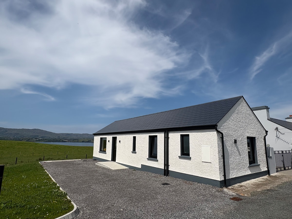 Enclosure in Kilvarnet NorthEnclosure · 386 yd
 IndicatedFairy fort / stone ringfort · 431 yd
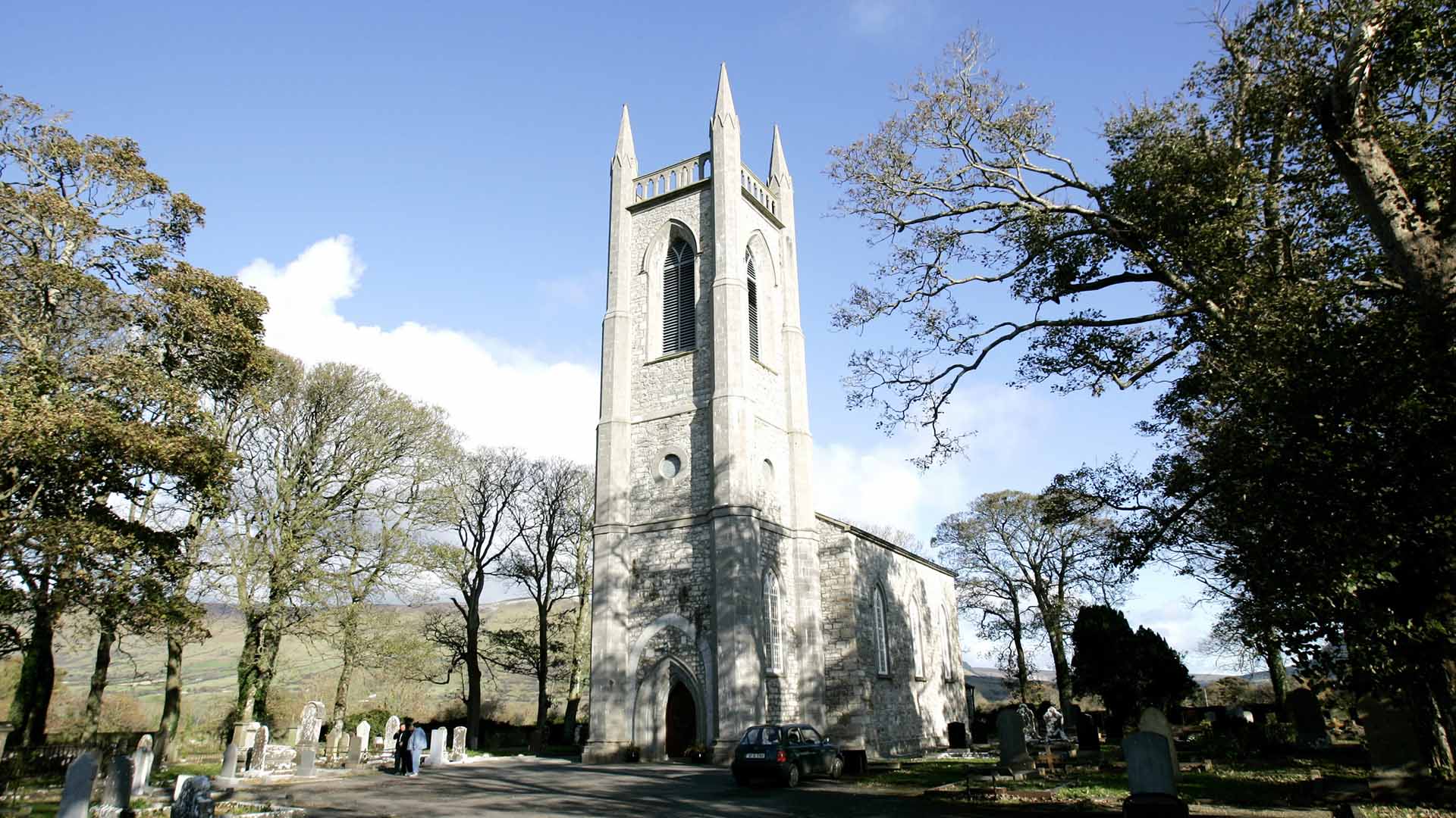 Church (in Ruins)Church · 1085 yd
 European ashEuropean ash · 1.2 mi
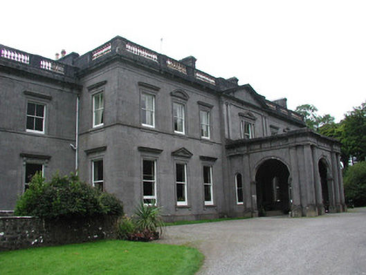 Temple Housecountry house · 1.7 mi
 ElderElder · 1.8 mi
 CastleCastle, unclassified · 2.1 mi
 KnocknasheeMountain / peak · 2.3 mi
 RathdoonyCastle, motte · 3.8 mi
 Tullaghan HillMountain / peak · 4.5 mi
 Brother WalfridMemorial · 4.8 mi
 James MorrisonMemorial · 7.1 mi