What is recorded here
Situated on a level landscape. The site of the parish church of Mulrankin w(WX047-119001-) is within a rectangular graveyard (dims 57m E-W; 30m N-S) defined by masonry walls at E and around an entrance from a public road at S, and by earthen banks with trees elsewhere.
Compiled by: Michael Moore
Date of upload: 14 October, 2013
The monument record does not grant public access. Check the route and ask the landowner before entering private land.
- What survives
- Recorded monument
Places near here
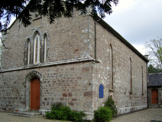 Saint David's Church (Mulrankin)church/chapel · 20 yd
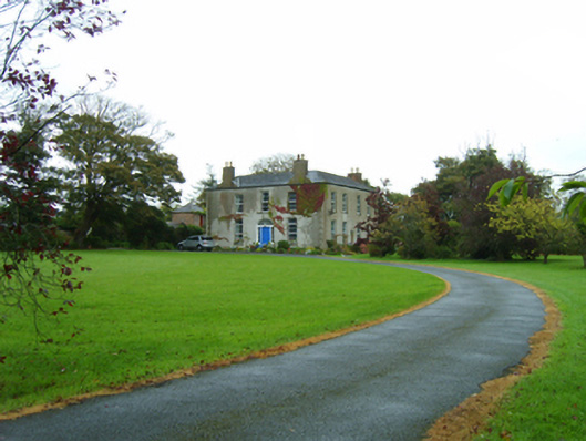 rectory/glebe/vicarage/curate's houserectory/glebe/vicarage/curate's house · 73 yd
 Castle (in ruins)Castle, tower house · 761 yd
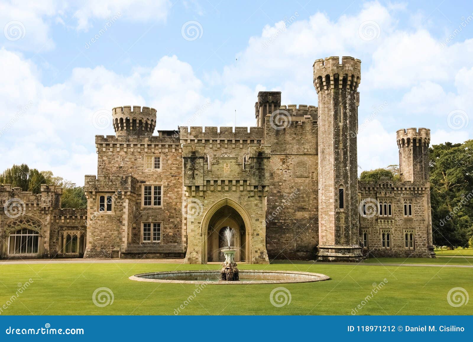 site of CastleCastle, unclassified · 802 yd
 St. Davids Well (Site of)Holy well · 810 yd
 St. Bridgets WellHoly well · 892 yd
 The Heron's MeadowForest · 2.8 mi
 The Bull RockForest · 2.8 mi
 1798 Memorial PlaqueMemorial · 2.9 mi
 Ballyhealy BeachBeach / strand · 3.6 mi
 The White Hole BeachBeach / strand · 4.1 mi
 Cull IslandIsland · 4.3 mi