What is recorded here
At the bottom of a steep S-facing slope and on the N shore of Lough Meelagh. Rectangular graveyard (dims. 73m E-W; 48m N-S) defined by masonry walls, which has been extended to the E. Church (RO004-003001-) is within, and St Lassar's Well (RO004-002002-) is c. 30m to the W. (Weld 1832, 264-9)
Compiled by: Michael Moore
Date of upload: 24 August 2010
The monument record does not grant public access. Check the route and ask the landowner before entering private land.
- What survives
- Recorded monument
Places near here
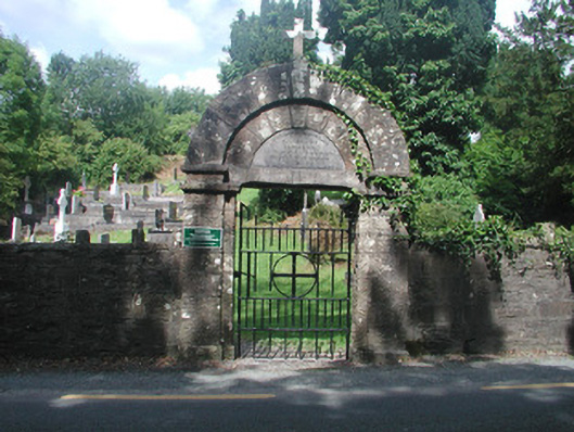 graveyard/cemeterygraveyard/cemetery · 25 yd
 AltarAltar · 120 yd
 Loughend IslandIsland · 436 yd
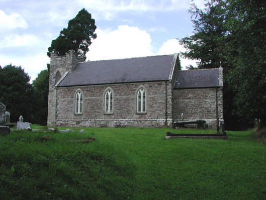 Saint Thomas's Church (Kilronan)church/chapel · 521 yd
 Knockranny WoodsForest · 570 yd
 Orchard IslandIsland · 1178 yd
 Turlough O'CarolanMemorial · 1478 yd
 Sweat House (Disused)Sweathouse · 1519 yd
 Clothesrock WoodWood · 1588 yd
 Kilronan MountainMountain / peak · 1.3 mi
 Arigna Mining ExperienceMuseum · 1.9 mi
 Josie McDermott MemorialMemorial · 2.2 mi