What is recorded here
Internal diam. 19.7m N-S, 18.8m E-W
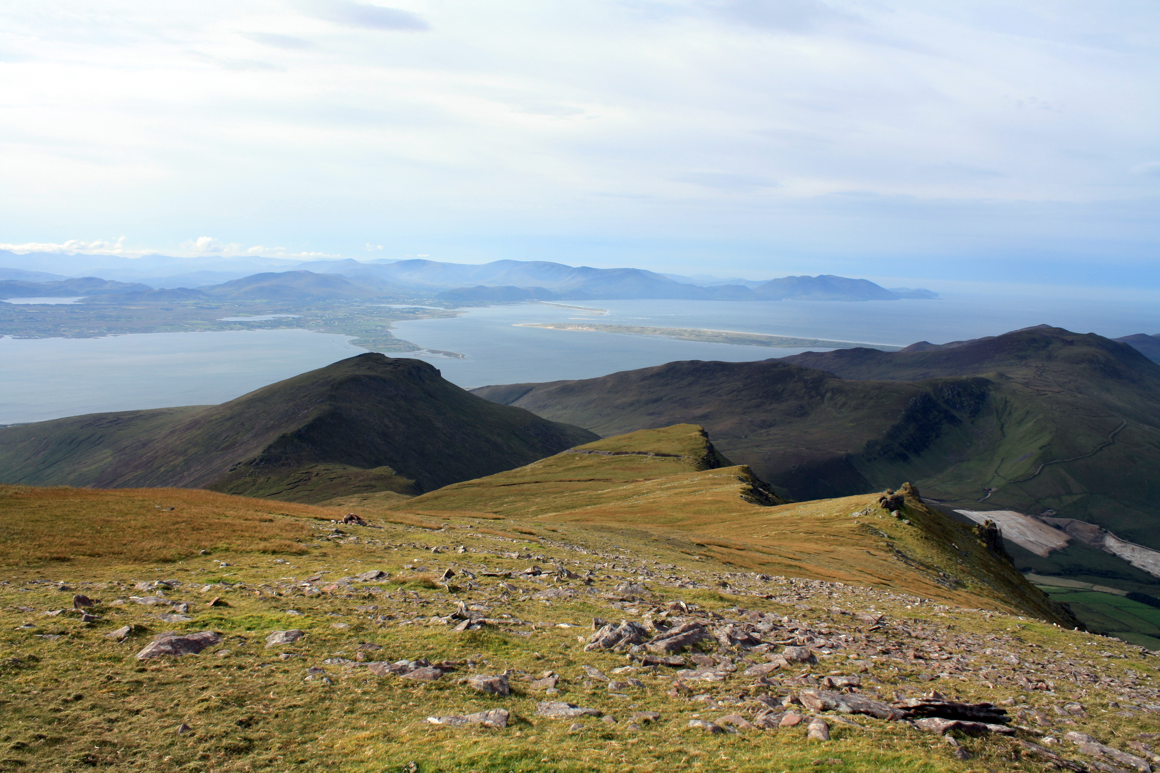
This circular caher is located on the edge of a natural terrace on a high S facing slope which overlooks Lough Currane. The area outside the enclosing wall at W is scarped and faced with rough drystone masonry. A spread of collapse covers this area, and is particularly dense close to the base of the enclosing element. This consists of a rubble core faced externally and internally with coursed drystone masonry. Heavy rectangular boulders were used in the construction of its lower courses, and it survives to an average height of .9m and a width of 1.5m. Regular stone facing defines the sides of the 1m wide entrance, located at SSE.
A subcircular stone hut (KE089-066001-), 5.25m x 3.85m internally, is almost centrally located in the interior of the caher. Its wall varies in height from .3m to 1.6m, and it is 1.3m in average width. There is an entrance gap, .8m wide, at E. Adjacent to the caher wall at W are two conjoined subcircular structures, which may be of relatively recent origin. They survive as bands of stone collapse.
The above description is derived from A. O'Sullivan and J. Sheehan (compilers), 'The Iveragh peninsula: an archaeological survey of South Kerry'. Cork University Press (1996), no. 568. In certain instances the entries have been revised and updated in the light of recent research.
Date of upload: 29 July 2013
The monument record does not grant public access. Check the route and ask the landowner before entering private land.
- What survives
- Recorded monument
Places near here
 Enclosure in Cathair SamháinEnclosure · 454 yd
 CloughaunHut site · 496 yd
 GlanbegMountain / peak · 1083 yd
 An Bheann MhórMountain / peak · 1.6 mi
 An PlaoscHeadland · 2.1 mi
 Scoil Náisiúnta Máistir Gaoithe [Mastergeehy National School]school · 2.3 mi
 Dromod Church (in Ruins)Church · 2.4 mi
 2Cliff · 3.7 mi
 CastleCastle, tower house · 4.0 mi
 Butler MemorialMemorial · 4.4 mi
 T. C. Millerick MemorialMemorial · 4.5 mi
 Waterville PromenadeWalking route · 4.5 mi