What is recorded here
Indicated is a cashel in County Galway, a subcircular stone ring now swallowed by scrubland and rock. Its wall still marks a shallow bowl twenty-seven metres across, but overgrowth has erased most of the shape. What remains is a line of stones emerging from the vegetation, suggesting a boundary drawn in rock rather than built for display. The land kept the shape long after human hands stopped maintaining it.
In scrubland and rock outcrop. Described by Cody (1989, 245-6, no. 73) as a poorly preserved subcircular cashel (27.5m E-W; 21.5m N-S) defined by a drystone wall, best preserved from S through W to NE. Due to dense overgrowth all that was visible when inspected in May 1992 was the line of the wall from WSW to NW.
Compiled by: Galway Archaeological Survey, UCG
Date of upload: 24 November 2017
The monument record does not grant public access. Check the route and ask the landowner before entering private land.
- What survives
- Recorded monument
Places near here
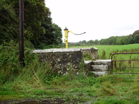 water pumpwater pump · 491 yd
 CastleturvinHouse, 18th/19th century · 610 yd
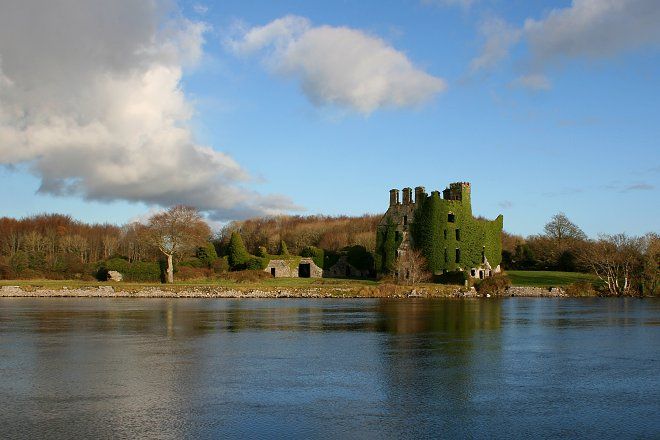 IndicatedFairy fort / stone ringfort · 982 yd
 ToberconnellyHoly well · 1288 yd
 Athenry AbbeyHeritage attraction · 1.6 mi
 Athenry CastleHeritage attraction · 1.8 mi
 Castle or King Johns Court (in ruins)Castle, Anglo-Norman masonry castle · 1.8 mi
 Horse-chestnutHorse-chestnut · 1.9 mi
 Moyard WoodWood · 2.1 miFirst Battle of Athenrybattle · 2.4 mi
 Moyode CastleCastle · 2.6 mi
 Leadmine HillMountain / peak · 9.5 mi