What is recorded here
On a gentle S-facing slope in pastureland. This poorly preserved subcircular ecclesiastical enclosure (76m N-S; 61m E-W) is defined by a double-faced drystone wall with a rubble core (int. H 0.3-0.8m; ext. H 0.5-1.7m; Wth 1.25m); it is best preserved from W through N to SSE. A field boundary overlies it from E to SSE. A roadway surrounds it from S through W to NW. A gap (Wth c. 6.5m) in the E sector is modern but the inner line of the enclosure wall is evident. A church (GA096-051002-) and graveyard (GA096-051002-) lie in the S half of the interior. Cody (1989, 315-17, no. 139) noted a possible internal radial division, defined by a grass-covered stony bank, in the SE quadrant.
Compiled by: Galway Archaeological Survey, UCG
Date of upload: 30 January 2020
The monument record does not grant public access. Check the route and ask the landowner before entering private land.
- What survives
- Recorded monument
Places near here
 Templekilmona Church (in ruins)Church · 4 yd
 WillmountCountry house · 128 yd
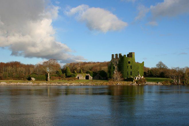 IndicatedFairy fort / stone ringfort · 518 yd
 Enclosure in CloranEnclosure · 1336 yd
 Derrydonnell Castle (in ruins)Castle, tower house · 2.0 mi
 Athenry AbbeyHeritage attraction · 2.1 mi
 Athenry CastleHeritage attraction · 2.2 mi
 Castle or King Johns Court (in ruins)Castle, Anglo-Norman masonry castle · 2.2 mi
 Horse-chestnutHorse-chestnut · 2.3 mi
 Moyard WoodWood · 2.8 miFirst Battle of Athenrybattle · 2.8 mi
 Leadmine HillMountain / peak · 8.7 mi