What is recorded here
Marked only on the 1924 ed. of the OS 6-inch map and situated in a level, low-lying landscape with a N-S stream c. 20m to the E. This is a raised circular area (diam. 32m E-W; H 1.2 1.5m) with traces of a fosse (at W: Wth of top 5.5m; D 0.4m) S-NW. It is planted with coniferous trees and is situated c. 260m NE of Castle Talbot House, an 18th century mansion, and the enclosure (WX027-030----) is c. 110m to the SSW. It may be a landscape feature.
The above description is derived from the published 'Archaeological Inventory of County Wexford' (Dublin: Stationery Office, 1996). In certain instances the entries have been revised and updated in the light of recent research.
Compiled by: Michael Moore
Date of upload/revision: 17 July 2012
The monument record does not grant public access. Check the route and ask the landowner before entering private land.
- What survives
- Recorded monument
Places near here
 IndicatedEnclosure · 167 yd
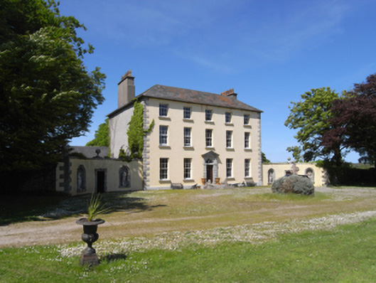 Castle Talbotcountry house · 305 yd
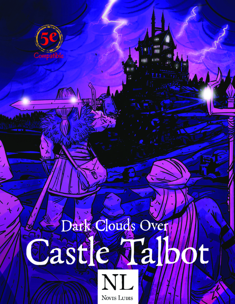 Castle Talbot (in ruins)Structure · 617 yd
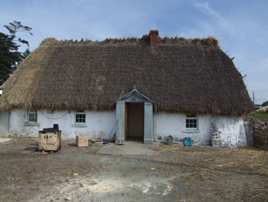 farm housefarm house · 1191 yd
 1798 Insurrection MemorialMemorial · 1244 yd
 Memorial to The PomonaMemorial · 1365 yd
 Ballingowan MoteCastle, motte · 1.5 mi
 71Mountain / peak · 1.7 mi
 Blackwater Coastal Erosion Monitoring PointViewpoint · 2.0 mi
 CastleCastle, unclassified · 3.3 mi
 Tinnaberna BeachBeach / strand · 3.6 mi
 Ballinesker BeachBeach / strand · 4.1 mi