What is recorded here
Indicated is a fairy fort in County Mayo, Ireland, occupying a low rise where Castlereagh, Rathowen East and Townplots West meet. Its circular earthworks still frame wide views, while faint internal divisions hint that people once lived inside the ring. Other local forts appear on nearby knolls, suggesting the landscape held several such places at once.
In undulating average pasture, located on a low rise, which provides very good views in all directions. It is located on the SE boundary of Castlereagh townland, at the junction with two other townlands, Rathowen East and Townplots West.
Raised circular area (27.8m E-W; 28m N-S) defined at SE-S by remnants of an earthen bank (Wth 4.8m; int. H 0.2m; ext. H 1.6m), and elsewhere by a scarp (ext. slope Wth 3.2m; ext. H 1.7m). Outside the bank/scarp it is enclosed by a fosse (Wth 3.8m) with an external bank (at NNW: Wth 4.8m, top 2m; int. H 1.5m; ext. H 1m). A field bank/townland boundary truncates the external bank at S. A ditch (Wth 1.6m; ext. D 0.4m) lies immediately outside the external bank at NE-SW, but this appears to be a late feature, although it may be on the line of an original fosse.
The interior slopes down slightly to the SE. The original entrance may have been at the SE, where the scarp is lowest, but there is no clearly defined gap. A possible rectangular house (MA022-002001-) is located against the bank at the S.
Two roughly parallel, linear scarps/banks (Wth 1.4m; H c. 0.2m), set c. 3m apart on SE-NW axis extend through the interior; these appear to be remnants of internal divisions, of uncertain date. At its SE end, the western bank/division curves to E to meet the eastern bank.
The surface of the interior is rather uneven, with numerous hummocks and hollows which probably result from relatively recent disturbance.
There is a possible house (MA022-002002-) immediately to W of the rath. A rath (MA022-003----) is prominently located on a knoll c. 150m to ENE, an enclosure/house site (possible) (MA022-004----) is c. 150m to E, and a rath (MA022-005----) is c. 250m to ESE, all of which are visible from this rath.
Compiled by: Jane O’Shaughnessy
Date of upload: 8 March 2019
The monument record does not grant public access. Check the route and ask the landowner before entering private land.
- What survives
- Recorded monument
Places near here
 IndicatedEnclosure · 196 yd
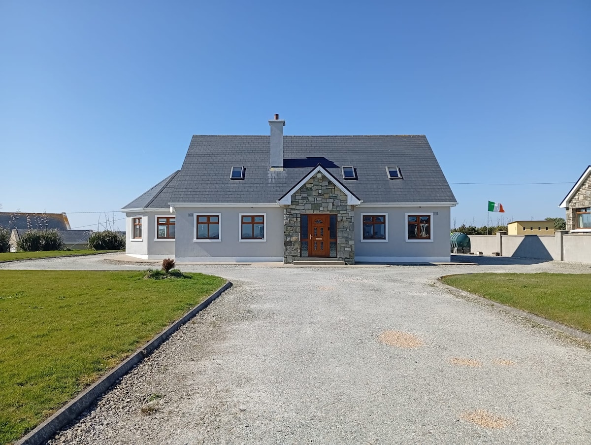 RathlowaghFairy fort / earthen ringfort · 222 yd
 Castlereaghwalled garden · 1344 yd
 Castle (in Ruins)Castle, tower house · 1742 yd
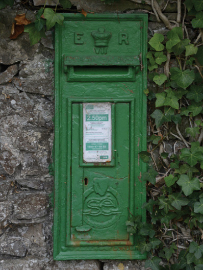 post boxpost box · 1.0 mi
 Battle of Killalabattle · 1.4 mi
 CastleCastle, unclassified · 1.4 mi
 Green IslandIslet · 1.8 mi
 Rinnaun PointHeadland · 2.1 mi
 Battlefields of MoyneBattlefield · 2.7 mi
 Moyne AbbeyHeritage attraction · 3.3 mi
 Bartragh IslandIsland · 3.5 mi