What is recorded here
Indicated is a fairy fort straddling the narrow top of a Mayo ridge, where the western slope rises into a steep scarp and the eastern edge drops into a shallow fosse. Its entrance faces east, marked by a slumped gap and a faint outer rise that may have guided people across. Hazel scrub rings the rampart, and a quarried section at the north reminds the eye that the place has given up material as well as memory.
In pasture, located at the N end of a low N–S ridge. The rath straddles the narrow top of the ridge, utilising the steeply sloping W slope.
Raised circular area (26.4m N–S; 26.9m E–W) defined by a scarp, and enclosed E–NNW by a fosse with traces of an external bank. The enclosing scarp (ext. H 2.3m at NNE; 1.8m at SW, 3.4m at W; Wth slope c. 4.5-6.5m) is enhanced by the natural fall of ground. It retains a slightly raised internal rim, with remnants of a stone kerb evident in parts at SSE–SSW. Stones protrude randomly from the external face of the scarp. A short semi-circular section of the enclosing scarp has been quarried out at the N.
The fosse (Wth 3.4m; D 0.4-0.8m) is evident as a shallow depression ESE–S, best defined at SSE-S where it cuts across the spine of the ridge; at SW–NW, where it coincides with the steep ridge slope, it changes to a terrace (Wth 2-2.5m) with an external stony scarp (H 1m) cut into the natural slope; the terrace terminates at N. The fosse is not evident at N–NE, and is overlain by a later roughly N–S field fence at E.
There is a possible external bank, evident as a low, sod-covered stony rim (Wth 2-2.4m), on the outer edge of the fosse at ESE–SW.
The interior is highest at SW, sloping down gently from there to NE. At the E a poorly defined, slumped gap (Wth c. 2m) appears to mark the original entrance; a slight rise in ground level outside the gap may mark the remnants of access ramp or causeway. Immediately inside the entrance, on the S side, a shallow, oblong depression (8.4m NE–SW; 4.5m NW–SE; D 0.4m) extends to the SE into the interior. The rath is ringed with hazel scrub. There is an enclosure (MA038-115----) located 20m to N.
Compiled by: Jane O'Shaughnessy
Date of upload: 13 August 2019
The monument record does not grant public access. Check the route and ask the landowner before entering private land.
- What survives
- Recorded monument
Places near here
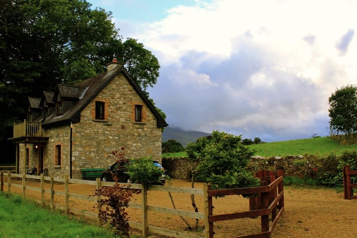 Enclosure in Castlehill (tirawley By., Crossmolina. Par.)Enclosure · 61 yd
 IndicatedFairy fort / earthen ringfort · 433 yd
 Ballyduffy CastleCastle, unclassified · 1445 yd
 CastleCastle, unclassified · 1613 yd
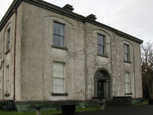 Castlehill Housefarm house · 1634 yd
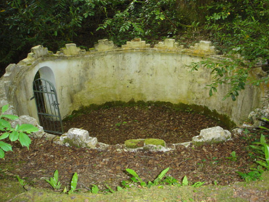 Enniscoe Housemausoleum · 1.4 mi
 Titanic Memorial ParkMemorial · 1.6 mi
 Castle IslandIslet · 2.0 mi
 Grave of the KingsArchaeological place · 2.0 mi
 Roe IslandIslet · 2.2 mi
 NephinMountain / peak · 3.2 mi
 KnockaffertaghMountain / peak · 6.8 mi