What is recorded here
Indicated is a possible rath in County Mayo, Ireland, now reduced to a faint oblong rise in pasture after centuries of ploughing and forgetting. It once stood forty metres across, a complete circle on the low ground beside wet flats, but human hands and time have erased most of its shape. What remains is a subtle swelling, a ghost of boundary visible only when the eye learns to read shallow change.
In pasture, located on a low elevation, with a fall of ground to E to an area of flat wettish ground.
This possible rath is shown on the 1838 OS 6-inch map as a circular enclosure (diam. c. 40m), bisected to N of centre by a NE–SW field boundary; by the time of the 1922 edition, only the NW third is shown, depicted as a semi-circular hachured area with the straight side to SE.
It has been levelled. An oblong rise (16m NW-SE; c. 25-30m NE–SW), defined along its NW arc by a slight scarp, representing the NW-N arc of the enclosure, can still be discerned. Further faint undulations are visible to S, but the full outline of the enclosure is no longer visible at ground level. There is another possible rath (MA038-117----) 140m to N.
Compiled by: Jane O'Shaughnessy
Date of upload: 13 August 2019
The monument record does not grant public access. Check the route and ask the landowner before entering private land.
- What survives
- Recorded monument
Places near here
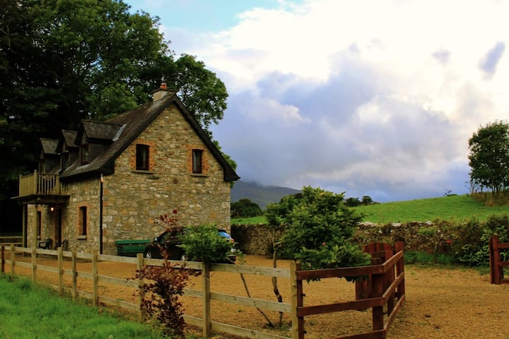 Enclosure in Castlehill (tirawley By., Crossmolina. Par.)Enclosure · 688 yd
 IndicatedFairy fort / earthen ringfort · 797 yd
 Ballyduffy CastleCastle, unclassified · 818 yd
 CastleCastle, unclassified · 1437 yd
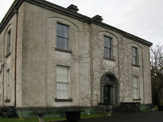 Castlehill Housefarm house · 1459 yd
 Titanic Memorial ParkMemorial · 1.3 mi
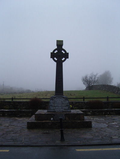 1798 Monumentmonument · 1.3 mi
 Castle IslandIslet · 2.2 mi
 Grave of the KingsArchaeological place · 2.3 mi
 Roe IslandIslet · 2.5 mi
 NephinMountain / peak · 2.8 mi
 KnockaffertaghMountain / peak · 6.6 mi