What is recorded here
Indicated is a fairy fort or stone ringfort in Cashelgarran, County Sligo, Ireland. It occupies a slight rise in gently undulating pasture immediately northeast of a modern house and yard. A rebuilt limestone rubble wall encloses the twenty-metre circular area from northeast to west, while a low earth and rubble bank defines the western and northern edges where the wall is absent. No entrance or fosse remains visible at ground level.
Situated on a very slight rise in gently undulating pasture, immediately to NE of modern house and yard. Raised circular area (diam. 20m) enclosed by a drystone wall (T 1.5m; int. H 0.5m; ext. H 1.4m) of limestone rubble. There is no fosse visible at ground level. The wall has been entirely rebuilt in modern times and encloses the site from NE-W. From W-N the wall is absent and the site is defined by a slight irregular bank (Wth 2.5-3m; int. H 0.1-0.3m; ext. H 1.6m) of earth and rubble limestone. From N-NE the wall is absent and the site is defined by an irregular scarp (ext. H 1.3m). The original entrance is not recognisable.
Compiled by: Mark Keegan
Date of upload: 19 January 2011
The monument record does not grant public access. Check the route and ask the landowner before entering private land.
- What survives
- Recorded monument
Places near here
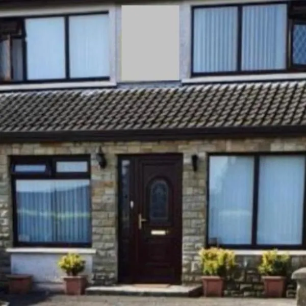 CashelgarranFairy fort / stone ringfort · 534 yd
 IndicatedFairy fort / stone ringfort · 616 yd
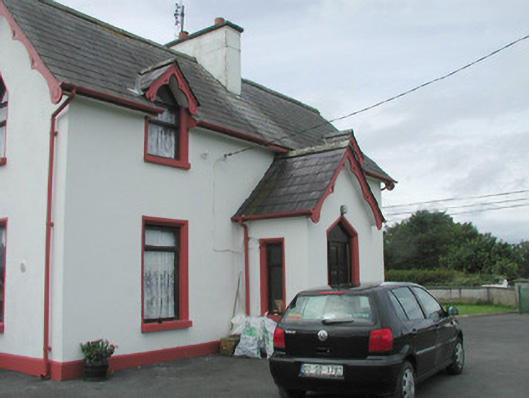 Rahelly Housegate lodge · 1449 yd
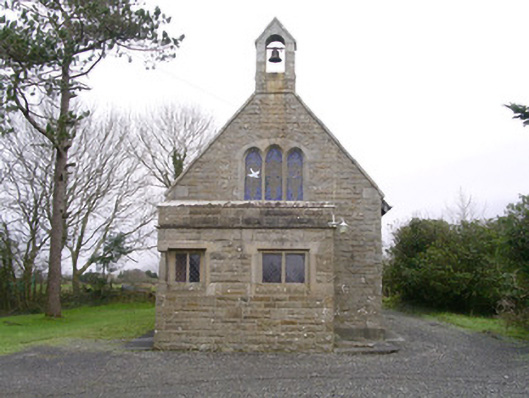 Saint Kevin's Church (Drumcliff)church/chapel · 1572 yd
 Cat CornerWood · 1.1 mi
 Floods WoodForest · 1.3 mi
 Castle (in Ruins)Castle, unclassified · 1.7 mi
 BenbulbinMountain / peak · 1.9 mi
 BenbulbenMountain · 2.2 mi
 Finned PointHeadland · 2.3 mi
 Atlantic SheepdogsHeritage attraction · 2.3 mi
 CastleCastle, unclassified · 2.3 mi