What is recorded here
In rough stony pasture, located on a rocky rise, which provides good views in all directions, especially to N.
This enclosure, possibly a cashel, consists of a roughly circular area (int.: 23.1m N−S; 24m E−W) defined by a drystone wall. It has been incorporated in to a later system of field walls, and now spans almost the full E-W width of a modern rectangular field.
The enclosing wall (Wth 0.6-1m; int. H 1m) is narrow and roughly constructed of medium sized stones, with some large boulders in the basal layers; it resembles nearby field walls in construction and size. It appears, when viewed from the exterior, to sit on a broad sod-covered plinth of stones, which projects beyond the exterior edge of the wall. This may be the remnants of an original enclosing stone wall/bank, with a possible original width of c. 2m. On the N arc the plinth has a pronounced external scarp (H c. 1.6m) merging with the natural slope. At S−SE the scarp lower and is defined by a low kerb of large stones. It is possible that this stony plinth incorporates an accumulation of field clearance stones.
There is no clearly entrance gap; current access is through a narrow, tumbled break at NNW. The interior has a rough, uneven surface, which reflects the natural contours of the rise; it is highest at N, sloping down from there to the W, with a more pronounced slope to NE and E. A small area of rock outcropping breaks the surface in the centre.
The interior is planted with conifers. There is an old quarry pit (8-10m across) a few meters downslope to N of the enclosure.
Compiled by: Jane O’Shaughnessy
Date of upload: 10 September 2020
The monument record does not grant public access. Check the route and ask the landowner before entering private land.
- What survives
- Recorded monument
Places near here
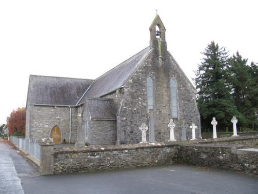 Saint James's Catholic Churchchurch/chapel · 1019 yd
 farm housefarm house · 1047 yd
 IndicatedFairy fort / earthen ringfort · 1319 yd
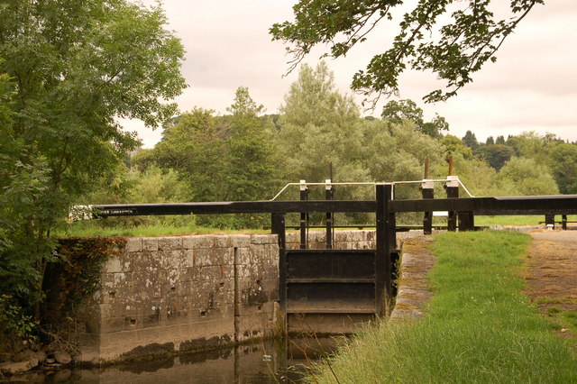 Embanked enclosureFairy fort / stone ringfort · 1.2 mi
 Old Cave Burial GroundArchaeological place · 3.0 mi
 Bockagh HillMountain / peak · 4.2 mi
 Casatle (ruins)Castle, unclassified · 5.5 mi
 Crunaun Castle (in ruins)Castle, unclassified · 6.1 mi
 East Mayo Brigade MonumentMemorial · 8.4 mi
 Crow IslandIslet · 11 mi
 Druminagh WoodForest · 11 mi
 Castle PointHeadland · 11 mi