What is recorded here
In undulating grassland. Very poorly preserved subcircular enclosure (N-S 37.5m, E-W 35.5m) defined by a bank, overlain by a field wall from NW to NE. A rectangular structure (E-W 21m, N-S 9m) abutting the bank at S is locally believed to have been an old school house. The 'Wicked Tree' (GA006-021----) lies c. 50m to NE.
The above description is derived from the published 'Archaeological Inventory of County Galway Vol. II - North Galway'. Compiled by Olive Alcock, Kathy de hÓra and Paul Gosling (Dublin: Stationery Office, 1999).
Date of upload: 05 August 2010
The monument record does not grant public access. Check the route and ask the landowner before entering private land.
- What survives
- Recorded monument
Places near here
 KilnKiln · 464 yd
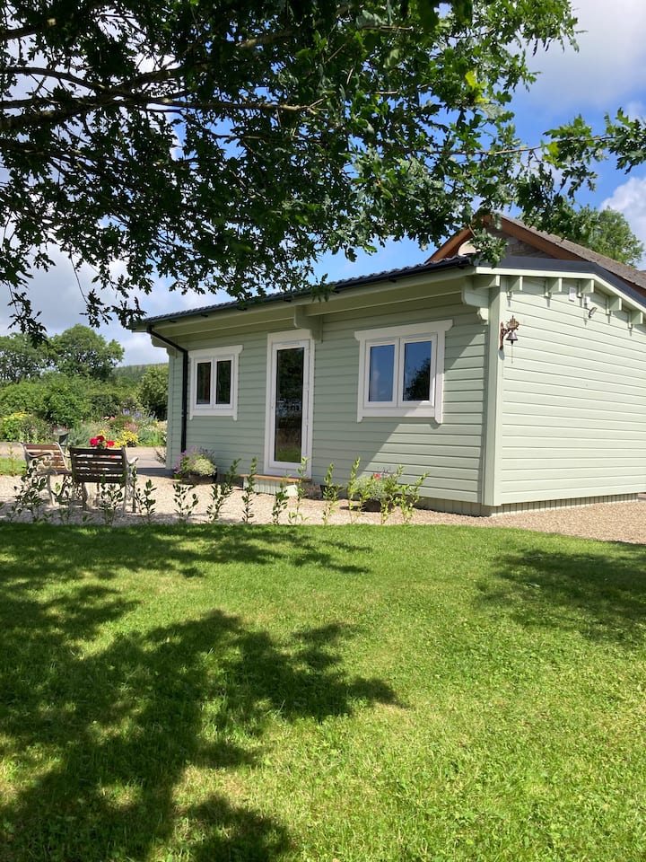 Enclosure in BallyroeEnclosure · 568 yd
 Enclosure in Moneen (island Ed)Enclosure · 678 yd
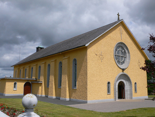 Saint Therese's Catholic Churchchurch/chapel · 1104 yd
 Castle (in ruins)Castle, unclassified · 1.5 mi
 Rook HillMountain / peak · 1.9 mi
 CastleCastle, unclassified · 2.4 mi
 Coolougher WoodForest · 4.9 mi
 Site of Killomaine Grave YardArchaeological place · 5.2 mi
 Slieve DartMountain / peak · 5.8 mi
 HawthornHawthorn · 9.2 mi
 Sally IslandIslet · 12 mi