What is recorded here
Situated on slight N-facing slope in gently undulating upland pasture. Two post-medieval structures, almost certainly of 19th century date, are located on the SE side of Carrownamaddoo cashel (SL005-095001-). This, the first,is a two roomed structure (Total L NE-SW 4.6m; Wth NW-SE 2.3m; Wall H 1.8m; Wall T 0.5m) of roughly coursed un-mortared rubble with rough corner quoins located against the inner re-built cashel wall SE-SSE.
Compiled by: Patrick F. O'Donovan
Date of upload: 13 August 2012
The monument record does not grant public access. Check the route and ask the landowner before entering private land.
- What survives
- Recorded monument
Places near here
 Megalithic structure in Ardnaglass UpperMegalithic structure · 484 yd
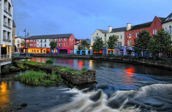 CashelbadeenFairy fort / stone ringfort · 1223 yd
 Benwiskin South TopMountain / peak · 1458 yd
 Church (in Ruins)Church · 1.0 mi
 BenwiskinMountain / peak · 1.2 mi
 BenbulbenMountain · 1.2 mi
 Dermot & Grania's BedCave · 1.3 mi
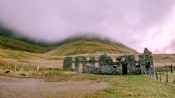 Gleniff School RuinsRuins · 1.6 mi
 Gleniff Horseshoe DriveViewpoint · 2.3 mi
 Gleniff Horseshoe Drive 2Viewpoint · 2.3 mi
 Castle (in Ruins)Castle, unclassified · 3.1 mi
 InishnagorIslet · 3.5 mi