
What is recorded here
In pasture, on gently elevated ground, in undulating terrain. Raised, roughly circular area (26m E–W; 23.5m N–S) defined by a scarp (ext. H 1.2m at W; ext. H 1.6m at E). At SE–SW the scarp is incorporated into a field fence/property boundary which respects the curve of the rath. At W the scarp is topped with a low stony rim (Wth 1m), possibly wall footings. Elsewhere along the top of the scarp, a few stones are visible, barely protruding above the sod. Stones also protrude randomly in parts on the external slope of the scarp. The SW quadrant of the interior is slightly raised above the rest of the interior. In the E half of the interior, there is a slight slope down to E mirroring the contours of the low rise on which the rath is sited. There is a low stony rise (max. dim. c. 1.3m) slightly NE of centre in the interior.
Compiled by: Jane O'Shaughnessy
Date of upload: 28 July 2014
The monument record does not grant public access. Check the route and ask the landowner before entering private land.
- What survives
- Recorded monument
Places near here
 Enclosure in Tullynagracken SouthEnclosure · 605 yd
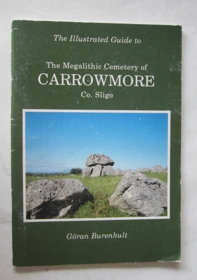 TobernacaltraghHoly well · 947 yd
 Tobernalt Holy WellSpring · 1676 yd
 Aghamore BayBay · 1.1 mi
 Green IslandIslet · 1.1 mi
 Bernard's IslandIslet · 1.4 mi
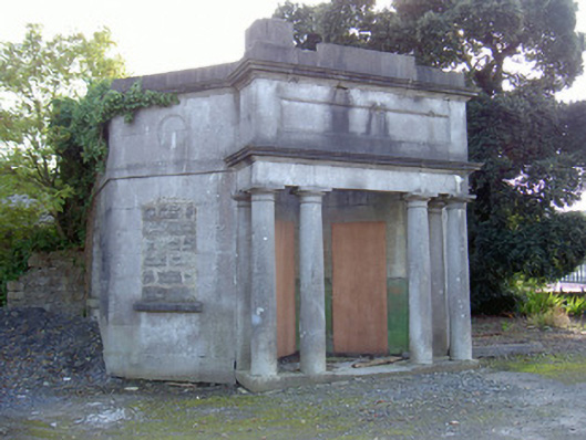 Sligo Cemeterygate lodge · 1.5 mi
 Strawberry treeStrawberry tree · 1.5 mi
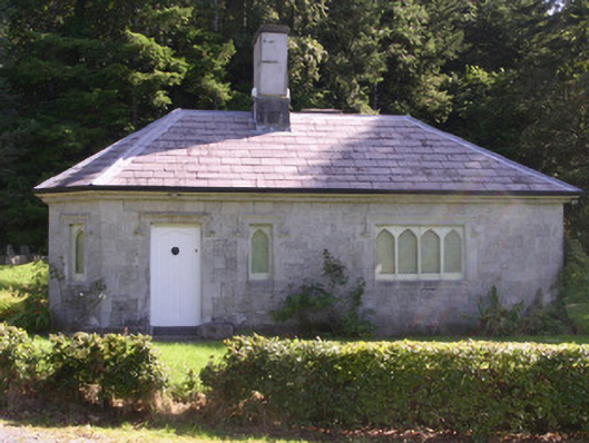 gate lodgegate lodge · 1.6 mi
 Tiffin's IslandWood · 1.6 mi
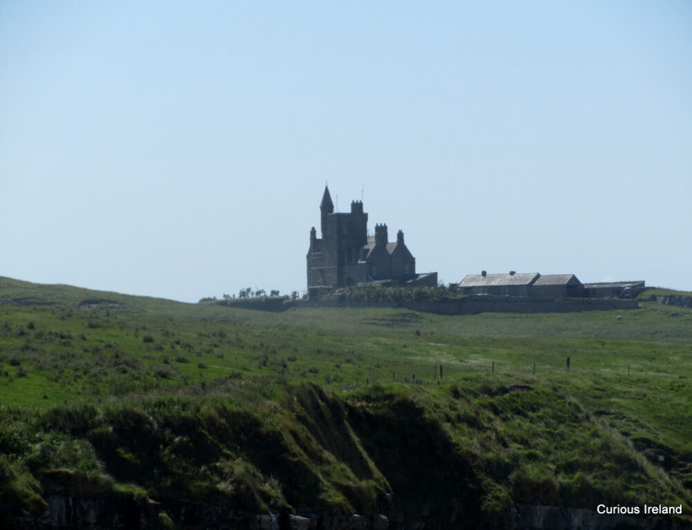 CastleCastle, unclassified · 1.7 mi
 Half Moon BayBay · 2.2 mi
Other information
Photo: Credit not shown in the picture search · Rights wording not checked; contact us if this picture should be removed