What is recorded here
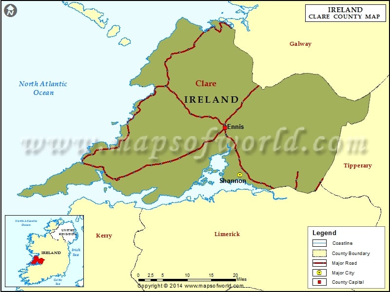
Indicated is a vanished Clare ringfort, reduced to a ploughed ghost on a gentle ridge where horses still graze. Cameras caught its thirty-eight metre circle and eastern gaps before boots found only smooth grass and forgotten ditch water. The landowners remembered low banks that no longer answer to human sight, suggesting the fort withdrew rather than broke. It remains a fairytale trap for certainty, hiding a complete life behind ordinary pasture.
On the plateau of a gentle NE-SW ridge in rough pasture. Listed as ‘Enclosure’ in the SMR (1992) and the RMP (1996). Visible on Digital Globe (2011-2013) as a ploughed-out circular area (diam. c. 38m) defined by a bank and fosse and on OSi orthophotography (1995) with possible entrances at E and SE. On inspection in 1998 there were no visible remains at ground level. A series of low banks and shallow ditches had been noted by the landowners but they were not distinguishable as a fort.
Compiled by: Mary Tunney
Date of upload: 6 October 2025
The monument record does not grant public access. Check the route and ask the landowner before entering private land.
- What survives
- Recorded monument
Places near here
 Ballaghboy FortArchaeological place · 353 yd
 Site of Tullamore CastleCastle, unclassified · 916 yd
 SheepfoldFairy fort / stone ringfort · 943 yd
 Saint Augustine's Catholic Churchchurch/chapel · 1200 yd
 Kilshanny Church (in ruins)Religious house, Augustinian canons · 1.2 mi
 Smithstown Castle (in ruins)Castle, tower house · 2.1 mi
 Kilmanahn GraveyardRuins · 2.5 mi
 Famine MemorialMemorial · 2.8 mi
 Doolin Road SinkCave · 3.3 mi
 Lahinch BeachBeach / strand · 3.4 mi
 Fisherstreet PotCave · 3.5 mi
 Ballyteigue Nature ReserveNature reserve · 3.8 mi
Other information
Photo: Credit not shown in the picture search · Rights wording not checked; contact us if this picture should be removed