What is recorded here
In undulating pasture, on a level terrace just below the top of a NE-SW ridge. A slightly sunken sod-covered track, flanked by substantial earthen field boundaries (Wth 2.2-4.6m; max. H 1.5m), is traceable for c. 500m in a roughly NE-SW line (Pl. 81). Roughly midway along its length, a side branch (Wth 2.8m) (SL025-112003-) extends (L c. 230m) downslope to NW to a church and graveyard (SL025-112001-; SL025-112002-) in Killoran North. The average width of the track is c. 8m but it widens to 12.7m at the branch junction. The side branch is flanked on its S side by a field boundary and on the N side is defined by a scarp (H 0.6m) dug into the side of the ridge. A rectangular enclosure (SL025-121----) lies c. 40m to NW and a rath (SL025-120----) c. 40m to S.
The above description is derived from the published 'Archaeological Inventory of County Sligo' compiled by Ursula Egan, Elizabeth Byrne, Mary Sleeman with Sheila Ronan and Connie Murphy (Dublin Stationery Office, 2005).
Date of upload: 18 January 2008
The monument record does not grant public access. Check the route and ask the landowner before entering private land.
- What survives
- Recorded monument
Places near here
 Church (in Ruins)Church · 289 yd
 IndicatedFairy fort / earthen ringfort · 1024 yd
 Enclosure in Kilvarnet NorthEnclosure · 1.0 mi
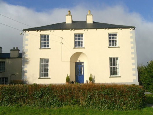 Rathbarran Houserectory/glebe/vicarage/curate's house · 1.4 mi
 European ashEuropean ash · 2.0 mi
 ElderElder · 2.6 mi
 CastleCastle, unclassified · 2.9 mi
 Moymlough Castle (in Ruins)Castle, tower house · 3.5 mi
 Tullaghan HillMountain / peak · 3.6 mi
 DoomoreMountain / peak · 4.0 mi
 Brother WalfridMemorial · 5.6 mi
 James MorrisonMemorial · 7.3 mi