What is recorded here
Indicated is an enclosure in Carrownagleragh, County Sligo, Ireland. It appeared as a circular enclosure on the 1838 OS 6-inch map and as a triangular enclosure bounded by a field boundary on the 1914 OS 6-inch map. The site is now levelled but remains visible as a slightly raised oval area and a cropmark in a 1967 aerial photograph. A rath lies thirty metres to the west.
In pasture, at a break of a NE-facing slope of a ridge. Indicated on the 1838 OS 6-inch map as a circular enclosure (diam. c. 25m) and on the 1914 OS 6-inch map as a triangular enclosure bounded on the NW side by a field boundary. Now levelled; evident only as a very slightly raised roughly oval area (c. 21m NE-SW; c. 15m NW-SE) merging at NW with the field boundary. Visible as a cropmark of a levelled oval enclosure in an aerial photograph (CUCAP, AVJ 15) taken in 1967. A rath (SL025-125----) lies c. 30m to W.
The above description is derived from the published 'Archaeological Inventory of County Sligo' compiled by Ursula Egan, Elizabeth Byrne, Mary Sleeman with Sheila Ronan and Connie Murphy (Dublin Stationery Office, 2005).
Date of upload: 18 January 2008
The monument record does not grant public access. Check the route and ask the landowner before entering private land.
- What survives
- Recorded monument
Places near here
 IndicatedFairy fort / earthen ringfort · 562 yd
 Church (in Ruins)Church · 759 yd
 Ecclesiastical enclosure in Kilvarnet NorthEcclesiastical enclosure · 1486 yd
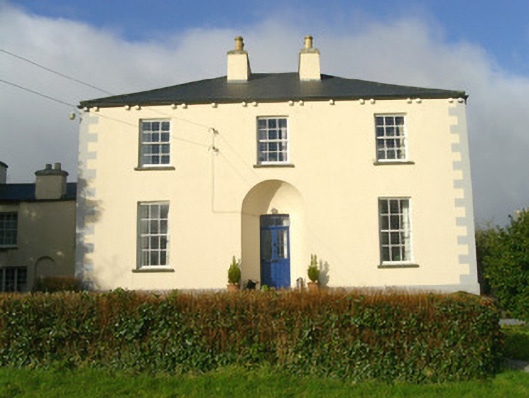 Rathbarran Houserectory/glebe/vicarage/curate's house · 1.3 mi
 European ashEuropean ash · 1.7 mi
 ElderElder · 2.3 mi
 KnocknasheeMountain / peak · 2.6 mi
 CastleCastle, unclassified · 2.9 mi
 Moymlough Castle (in Ruins)Castle, tower house · 3.3 mi
 Tullaghan HillMountain / peak · 3.6 mi
 Brother WalfridMemorial · 5.3 mi
 James MorrisonMemorial · 7.0 mi