
What is recorded here
In cleared gently undulating pastureland. A subcircular area (NE-SW 33.4m) enclosed by a wide drystone field wall (Wth 3m, H 1.6m). A gap at SE appears to be modern. Though apparently of recent construction, the wall may overlie an earlier enclosure.
The above description is derived from the published 'Archaeological Inventory of County Galway Vol. II - North Galway'. Compiled by Olive Alcock, Kathy de hÓra and Paul Gosling (Dublin: Stationery Office, 1999).
Date of upload: 05 August 2010
A local fairy fort (ringfort/rath); wider significance not recorded.
The monument record does not grant public access. Check the route and ask the landowner before entering private land.
- What survives
- Recorded monument
Places near here
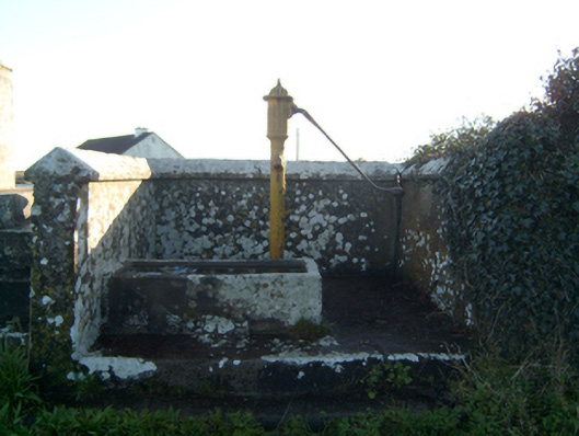 water pumpwater pump · 423 yd
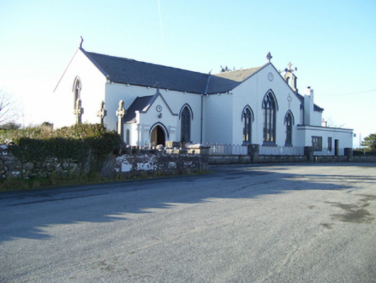 Saint Mary's Catholic Churchchurch/chapel · 752 yd
 UainmoreMan-made underground passage · 925 yd
 Toberkeeraun Holy WellHoly well · 1097 yd
 BallynacreggaWood · 1.1 mi
 Castle (in ruins)Castle, hall-house · 1.5 mi
 Ross Errilly FriaryHeritage attraction · 1.8 mi
 Annaghkeen CastleCastle · 1.8 mi
 Freeheen IslandIslet · 2.8 mi
 Rabbit IslandIslet · 2.8 mi
 Ballinduff BayBay · 5.1 mi
 Cúil DiarmuidWood · 5.4 mi
Other information
Photo: Credit not shown in the picture search · Rights wording not checked; contact us if this picture should be removed