What is recorded here
Indicated is a fairy fort or earthen ringfort in Carrownacreevy (leyny By.), County Sligo, Ireland. The slightly raised circular area sits in level pasture and contains two oblique rectangular stones that local tradition identifies as grave-markers.
In level pasture. A slightly raised circular area (22.4m N-S; 20.7m E-W) defined SE-NE by the remains of an earth and stone bank and truncated NE-SE by a linear field boundary, probably incorporating the bank. The bank (Wth 2.5m; int. H 0.4m; ext. H 0.8m) is evident as a low sod-covered rise with protruding stones. Traces of possible stone revetment are evident on the external face of the bank at S and several low eroded areas were noted at NE, NW and SE. According to local information, the bank was partially levelled to allow access to the interior. The interior is level with a possible field clearance cairn (diam. 2.5m; H 0.3m) situated off centre to W. Immediately to the W of the cairn are two rectangular closely set stones (N stone: H 0.5m; Wth 0.35m; T 0.2m, S stone: H 0.5m; Wth 0.35m; T 0.17m) leaning at an oblique angle. Narrow vertical grooves, noted on the E- and S-facing sides of the N stone and on the S-facing side of the S stone, are probably natural. There is a local tradition that these stones are grave-markers. E-W cultivation ridges were noted in the surrounding field.
The above description is derived from the published 'Archaeological Inventory of County Sligo' compiled by Ursula Egan, Elizabeth Byrne, Mary Sleeman with Sheila Ronan and Connie Murphy (Dublin Stationery Office, 2005).
Date of upload: 18 January 2008
The monument record does not grant public access. Check the route and ask the landowner before entering private land.
- What survives
- Recorded monument
Places near here
 IndicatedFairy fort / stone ringfort · 298 yd
 Enclosure in CarrowmurrayEnclosure · 1720 yd
 Carrowmore National Schoolschool · 1.0 mi
 KnocknasheeMountain / peak · 1.5 mi
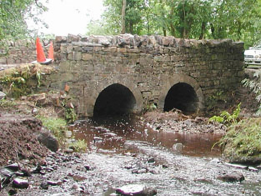 bridgebridge · 1.7 mi
 The Turf Stack RockNamed rock · 3.2 mi
 CastleCastle, unclassified · 3.3 mi
 Muckelty HillMountain / peak · 3.5 mi
 European ashEuropean ash · 4.8 mi
 White RockNamed rock · 5.1 mi
 Tawnyart WoodWood · 5.3 mi
 Indicated (1838).Fairy fort / earthen ringfort · 1721 yd