What is recorded here
In undulating pasture, on the E-facing slope of a ridge. A slightly raised circular area (28m WNW-ESE) enclosed by an earthen bank, apart from a section (L 16m) NW-N where the bank has been levelled. The bank (Wth 3.7m; int. H 0.9m; ext. H 0.85m) has traces of possible internal and external stone facing. A slight external depression (Wth 3m), evident SSW-WSW, may be remains of a fosse. There is a possible entrance (Wth 1.2m) at S and a further two gaps in the bank at SSE and ESE. The interior is grass-covered. The E portion of the interior is raised to compensate for the hillslope though there is still a gradual slope down towards E. There is a small field clearance cairn in the centre. There is a field boundary to W, immediately outside the bank. A complete bank is indicated on the 1838 OS 6-inch map, but by the 1914 OS 6-inch map the section at NW had been levelled.
The above description is derived from the published 'Archaeological Inventory of County Sligo' compiled by Ursula Egan, Elizabeth Byrne, Mary Sleeman with Sheila Ronan and Connie Murphy (Dublin Stationery Office, 2005).
Date of upload: 18 January 2008
The monument record does not grant public access. Check the route and ask the landowner before entering private land.
- What survives
- Recorded monument
Places near here
 Man-made underground passage in CarhaMan-made underground passage · 638 yd
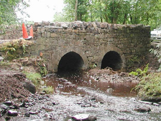 bridgebridge · 1179 yd
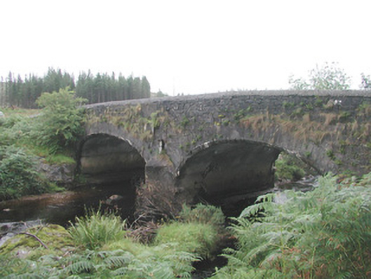 Carha Bridgebridge · 1499 yd
 Hachured (1838).Fairy fort / earthen ringfort · 1.0 mi
 KnocknasheeMountain / peak · 2.0 mi
 CloonaghMountain / peak · 3.0 mi
 CastleCastle, unclassified · 3.6 mi
 European ashEuropean ash · 3.9 mi
 Pigeonpark WoodForest · 4.3 mi
 The Turf Stack RockNamed rock · 4.4 mi
 Bawn in Longford DemesneBawn · 4.6 mi
 RinnatalleenHeadland · 6.1 mi