What is recorded here
Indicated is a fairy fort on a Mayo ridge where a low stone-faced bank encloses level ground above blackthorn and brambles. Its narrow western ditch and northern break suggest a place shaped, changed or remembered rather than simply built. The children’s burial ground in the south-west quadrant gives the ring a painful clarity: this was not an empty legend but a lived boundary between pasture, bog and death.
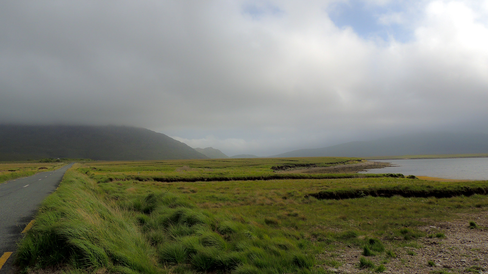
In pasture, located on a N–S ridge, overlooking pastureland to E and a broad tract of bog immediately to W.
Oval area (50m N–S; 40m E–W) defined on the W half by a broad, low bank (Wth 6.6m; int. H 0.4m, 1m at S), which is reduced to a scarp (H 1.2-1.4m) on the E half. In parts, the bank appears to have rough internal and external facing of stones. Outside the bank at NW there is a fosse/ditch (Wth 1.4m; D 0.2m), disproportionately narrow relative to the bank and possibly a later feature; it cannot be traced elsewhere around the circuit. There is a break (Wth 2m) in the bank at N. The interior is level. There is a children’s burial ground (MA039-082001-) in the SW quadrant. The bank is ringed with blackthorn, hawthorn and brambles.
Compiled by: Jane O’Shaughnessy
Date of upload: 1 April 2020
The monument record does not grant public access. Check the route and ask the landowner before entering private land.
- What survives
- Recorded monument
Places near here
 Dermot & Grania's BedArchaeological place · 453 yd
 IndicatedEnclosure · 1708 yd
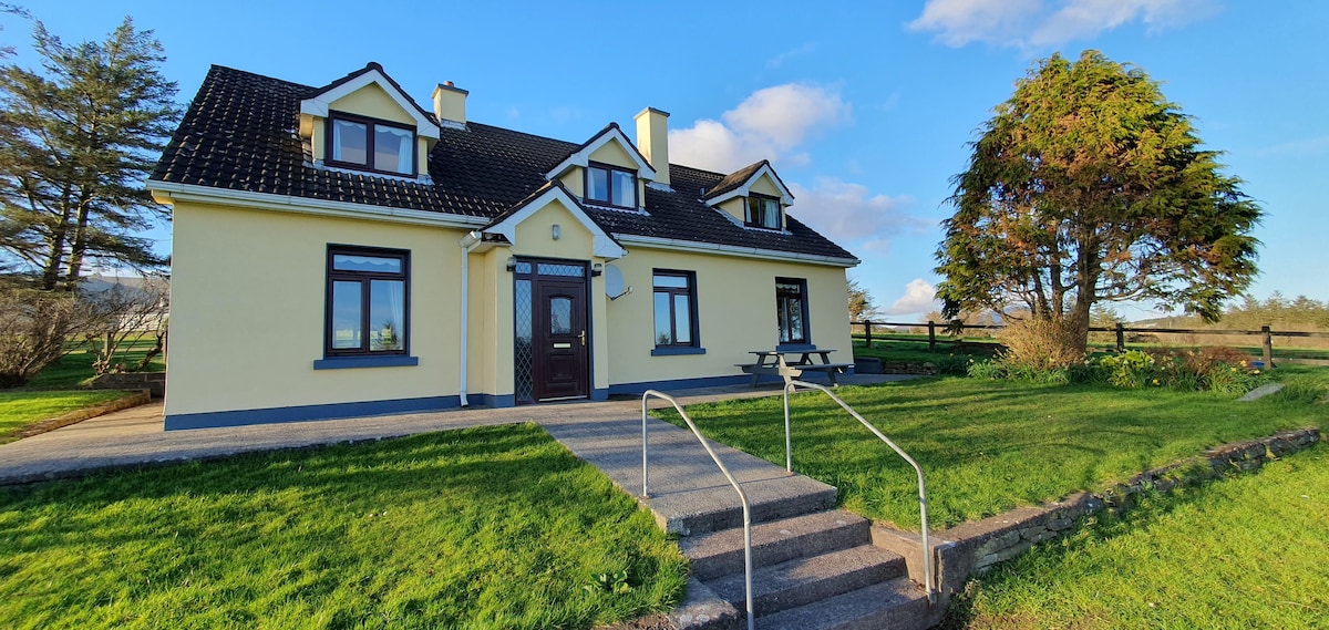
 farm housefarm house · 1.3 mi
 Catholic Church of the Immaculate Conception and Saint Josephchurch/chapel · 1.6 mi
 Castle (in ruins)Castle, unclassified · 2.6 mi
 Gull IslandIslet · 2.6 mi
 Humbert MonumentMemorial · 3.9 mi
 Belleck CastleCastle, unclassified · 4.0 miBattle of Ballinabattle · 4.1 mi
 The Marshall Doran CollectionGallery · 4.9 mi
 FloretteWreck · 5.0 mi
 Belleek WoodsWood · 5.0 mi