What is recorded here
In pasture, on elevated ground.
An embanked circular enclosure (diam. 25-30m) is shown on the 1838 OS 6-inch map; it is not shown on the 1931 edition, where a sub-rectangular field plot with a curving SW boundary is shown.
This enclosure has been leveled and partly subsumed into a sub-rectangular field plot (16m NE–SW; c. 8-10m NW-SE) which is defined on the NE, SE and SW sides by field fences and is open on the NW side (where a field fence has been removed). On the SE and SW sides the field fence tops a steep scarp (H c. 2m) marking a pronounced drop in ground level to S and SW. The SE side is bordered by a farm track. The original form and extent of the circular enclosure can no longer be traced. Modern houses are located immediately to SW and NW.
Compiled by: Jane O’Shaughnessy
Date of upload: 25 August 2021
This remains an important historical record, but the official description says the monument is no longer visible or has been destroyed. The monument record does not grant public access. Check the route and ask the landowner before entering private land.
- What survives
- No visible remains or recorded as destroyed
Places near here
 IndicatedFairy fort / earthen ringfort · 239 yd
 Dan's Cottagefarm house · 335 yd
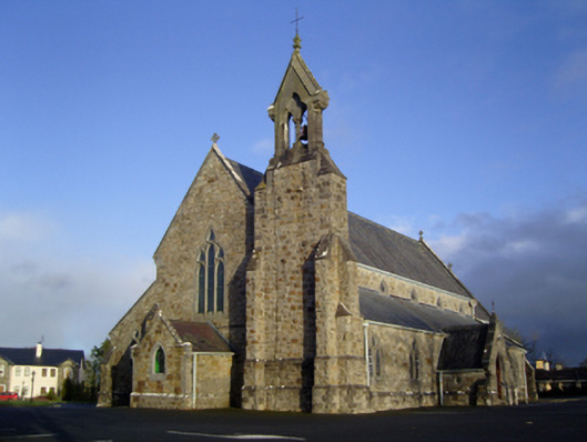 Catholic Church of the Immaculate Conception and Saint Josephchurch/chapel · 1088 yd
 Enclosure in BoholaEnclosure · 1.2 mi
 Castle in ruinsCastle, tower house · 1.7 mi
 Thorn CaveCave · 2.6 mi
 Shonagawna Castle in RuinsCastle, unclassified · 3.4 mi
 I'll Send You The FareMemorial · 3.7 mi
 Kiltimagh MuseumMuseum · 3.9 mi
 Michael DavittMemorial · 4.0 mi
 Carrowbeg WoodWood · 4.3 mi
 Brabazon WoodsForest · 5.0 mi