
What is recorded here
Raised circular area (diam. 30.6m) defined by a low scarp (H 1.8m at SE). The perimeter and a large portion of the rath itself have been removed at WNW−ESE as a consequence of the construction of outbuildings and a laneway. The grassed-over remains of a possible Man-made underground passage (MA079-065001-) are visible in the NW quadrant of the interior.
Compiled by: Jane O’Shaughnessy
Date of upload: 1 May 2019
The monument record does not grant public access. Check the route and ask the landowner before entering private land.
- What survives
- Recorded monument
Places near here
 CaltraghEnclosure · 1371 yd
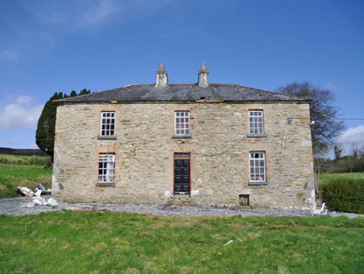 farm housefarm house · 1402 yd
 Enclosure in LisnolanEnclosure · 1580 yd
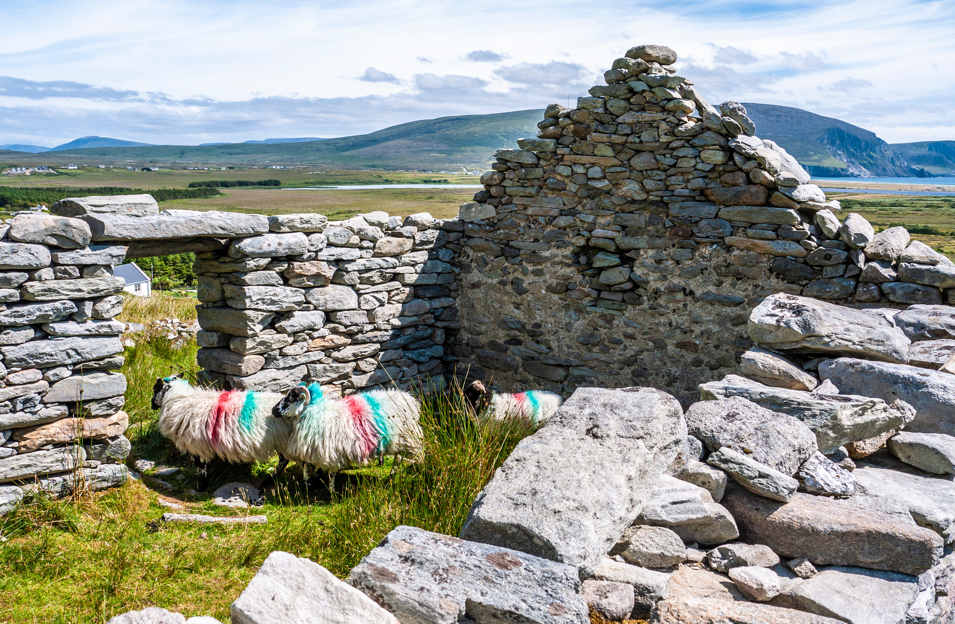 TempleashineenChurch · 1.2 mi
 Site of CastleCastle, unclassified · 1.2 mi
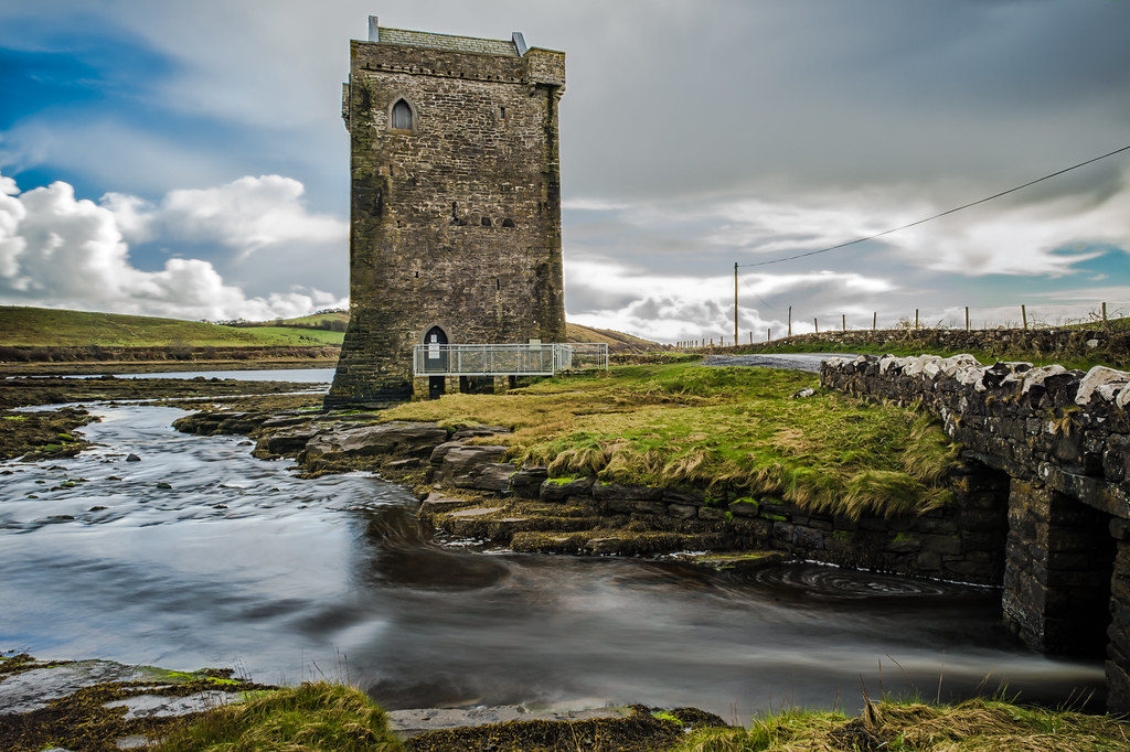 Moyhenna Castle in ruinsCastle, unclassified · 3.2 mi
 Black mulberryBlack mulberry · 3.5 mi
 Breaffy WoodsWood · 3.7 mi
 French Hill MonumentMemorial · 4.2 mi
 National Museum of Ireland, Country LifeMuseum · 4.5 mi
 Cerberus, from Thomastown HouseMemorial · 6.0 mi
 Battle of CastlebarMajor battlefield · 6.2 mi
Other information
Photo: Credit not shown in the picture search · Rights wording not checked; contact us if this picture should be removed