
What is recorded here
Indicated is a worn fairy fort in County Cork, a circular pasture marked by a low earthen bank that climbs the eastern slope to stay level. The missing western edge and bare ground suggest people once shaped the hill rather than simply occupying it.
In pasture on edge of break in NE-facing slope. Circular area (35m N-S) enclosed by worn earthen bank NW->S (int. H 0.5m); no trace of bank to W. Interior denuded of vegetation; raised on E side to compensate for hillslope.
The above description is derived from the published 'Archaeological Inventory of County Cork. Volume 1: West Cork' (Dublin: Stationery Office, 1992). In certain instances the entries have been revised and updated in the light of recent research.
Date of upload/revision: 14 January 2009
The monument record does not grant public access. Check the route and ask the landowner before entering private land.
- What survives
- Recorded monument
Places near here
 Tobar MacloonaboySpring · 491 yd
 farm housefarm house · 1023 yd
 Fulacht fia in Cashel MoreFulacht fia · 1127 yd
 Burnt mound in Cashel MoreBurnt mound · 1135 yd
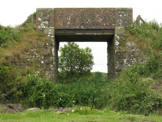 bridgebridge · 1482 yd
 Castle DerryCastle · 2.8 mi
 Monteen Castle (in Ruins)Castle, tower house · 3.2 mi
 English hollyEnglish holly · 3.4 mi
 Graveyard in KilmalodaGraveyard · 3.5 mi
 The GlenWood · 3.5 mi
 Battle of the Big Cross (1798) Memorial MonumentMonument · 4.4 mi
 Corran HillMountain / peak · 4.4 mi
Other information
Photo: Credit not shown in the picture search · Rights wording not checked; contact us if this picture should be removed