What is recorded here
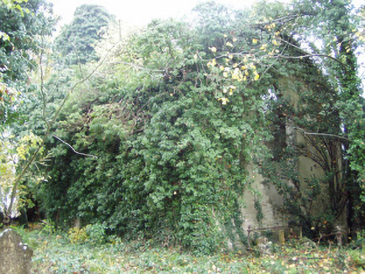
On top of a cliff edge, overlooking River Blackwater to SE. Ruinous remains of 17th/18th-century house, shown on 1842 OS 6-inch map as L-shaped building (long axis NW - SE) with projection at SE end of NE side. NE side reduced to low walls/ foundations. SW wall stands to 2-storeys, 5 bays wide, with central round-headed stairway window; remains of weatherslating on wall. Fragmentary remains of 2-bay projection at NW end. Internally, large fireplace (Wth 2.06m; D 0.7m) in crossing wall at NW end with small round headed niches on either side. Brick-domed bread oven (0.83m x 1m; H 0.66m), with flue, on SW side of fireplace; round-headed niche (H 1.24m; Wth 1.03m) with flue on NE side. Ruins of rectangular farm building (23.8m NW-SE; 8.33m NE-SW) to NNW, with large windows in gables. Down Survey (1655-6) barony map shows a house in this vicinity.
The above description is derived from the published 'Archaeological Inventory of County Cork. Volume 4: North Cork' (Dublin: Stationery Office, 2000). In certain instances the entries have been revised and updated in the light of recent research.
Date of upload/revision: 14 January 2009
The monument record does not grant public access. Check the route and ask the landowner before entering private land.
- What survives
- Recorded monument
Places near here
 The Garrisonstables · 427 yd
 Fulacht fia in CarrigoonFulacht fia · 580 yd
 Rahan Churchchurch/chapel · 653 yd
 Grave YardGraveyard · 669 yd
 Lover's LeapCliff · 1.1 mi
 Lover' LeapCliff · 1.1 mi
 Mallow Town Park - Maple WoodsForest · 1.4 mi
 Mallow Castle HouseCastle · 1.8 mi
 Carrig Castle (in Ruins)Castle, tower house · 1.8 mi
 KnockarouraForest · 2.3 mi
 In loving memory of Elvis O'DonoghueMemorial · 2.5 mi
 Mallow River TrailVisitor information · 2.5 mi